Loading...
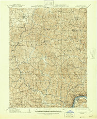
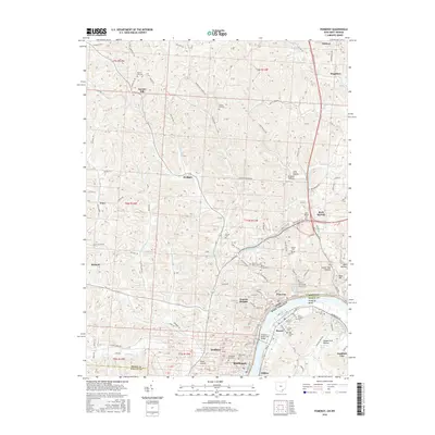
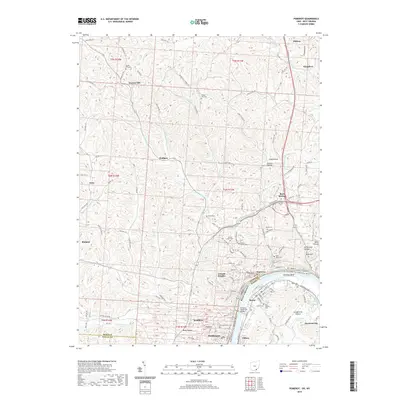
Loading map...1960 Map of Pomeroy
USGS Topo · Published 1972About this map
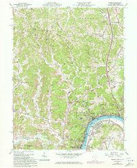
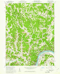
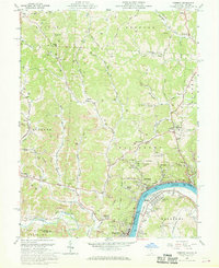
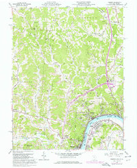
The Ohio River bend dictates the industrial and residential heart of this region, where the steep river bluffs of Salisbury meet the narrow flats of Pomeroy. This era finds the riverbank bustling with competing transit networks, including the Chesapeake and Ohio and Baltimore and Ohio railroads. The map documents a landscape heavily influenced by resource extraction, featuring numerous gas wells and expansive strip mines stretching toward Bradbury and Rutland.
Find a feature on this map
74 named features on this map. Tap any name to fly to it.
Don’t see what you’re looking for? This feature index may not catch every label — zoom into the map to look around manually.
Map Details
Date Portrayed1960
Date Published1972
PublisherU.S. Geological Survey
Map TypeTopographic
Scale1:24,000
Physical Dimensions22.1 x 27 inches
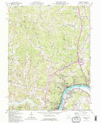
Editions of this 1960 Pomeroy Map
4 editions found
Historical Maps of Middleport Through Time
8 maps found
Featured Locations
Source Details
SourceU.S. Geological Survey
CopyrightPublic Domain