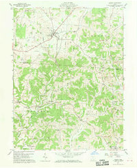
1960 Map of Albany
USGS Topo · Published 1970About this map
Albany serves as the primary hub in this landscape during the early 1960s, situated at the junction of Clinton St and Factory Road. The topography is defined by the winding course of Leading Creek and the West Branch Shade River, which drain a region deeply marked by industrial extraction. Numerous strip mines are etched into the hillsides of Alexander and Scipio townships, indicating the importance of surface mining to the local economy alongside scattered oil and gas wells.
Find a feature on this map
51 named features on this map. Tap any name to fly to it.
Don’t see what you’re looking for? This feature index may not catch every label — zoom into the map to look around manually.
Map Details
Editions of this 1960 Albany Map
4 editions found

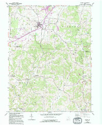
Other maps of this area

1903 · Athens
USGS Topo · 1:62,500

1904 · Zaleski
USGS Topo · 1:62,500

1905 · Athens
USGS Topo · 1:62,500

1905 · Wilkesville
USGS Topo · 1:62,500

1907 · Pomeroy
USGS Topo · 1:62,500

1907 · Zaleski
USGS Topo · 1:62,500

1908 · Wilkesville
USGS Topo · 1:62,500

1947 · Columbus
USGS Topo · 1:250,000

1960 · Albany
USGS Topo · 1:24,000

1960 · Rutland
USGS Topo · 1:24,000