
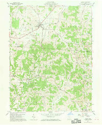
1960 Map of Albany
USGS Topo · Published 1976About this map
The village of Albany serves as the primary hub on this survey, situated at the junction of several rural routes and the Penn Central railroad. The landscape transition from northern Alexander into southern Columbia and Scipio reveals a region defined by agricultural experimentation and heavy industry. Near the center of the sheet, the State Agriculture Experiment Station sits west of Margaret Creek, while the eastern terrain is heavily marked by extensive Strip Mines that follow the winding course of the West Branch Shade River.
Find a feature on this map
42 named features on this map. Tap any name to fly to it.
Don’t see what you’re looking for? This feature index may not catch every label — zoom into the map to look around manually.
Map Details
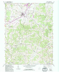
Editions of this 1960 Albany Map
4 editions found
Other maps of this area

1903 · Athens
USGS Topo · 1:62,500

1904 · Zaleski
USGS Topo · 1:62,500

1905 · Athens
USGS Topo · 1:62,500

1905 · Wilkesville
USGS Topo · 1:62,500

1907 · Pomeroy
USGS Topo · 1:62,500

1907 · Zaleski
USGS Topo · 1:62,500

1908 · Wilkesville
USGS Topo · 1:62,500

1947 · Columbus
USGS Topo · 1:250,000

1960 · Albany
USGS Topo · 1:24,000

1960 · Rutland
USGS Topo · 1:24,000