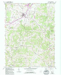
1960 Map of Albany
USGS Topo · Published 1995About this map
Albany serves as the central hub of this topographical study of the borderlands between Athens Co and Meigs Co. The landscape is defined by the winding paths of Leading Creek and Margaret Creek, with the north dominated by the Ohio University Airport and the recreational waters of Lake Snowden. The map documents a rural Ohio economy rooted in agricultural research and natural resource management, evidenced by the State Agriculture Experiment Station and the expansive Shade River State Forest to the east.
Find a feature on this map
47 named features on this map. Tap any name to fly to it.
Don’t see what you’re looking for? This feature index may not catch every label — zoom into the map to look around manually.
Map Details
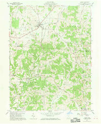
Editions of this 1960 Albany Map
4 editions found

Other maps of this area

1903 · Athens
USGS Topo · 1:62,500

1904 · Zaleski
USGS Topo · 1:62,500

1905 · Athens
USGS Topo · 1:62,500

1905 · Wilkesville
USGS Topo · 1:62,500

1907 · Pomeroy
USGS Topo · 1:62,500

1907 · Zaleski
USGS Topo · 1:62,500

1908 · Wilkesville
USGS Topo · 1:62,500

1947 · Columbus
USGS Topo · 1:250,000

1960 · Albany
USGS Topo · 1:24,000

1960 · Rutland
USGS Topo · 1:24,000