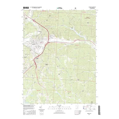
2017 Map of Athens
USGS Topo · Published 2017About this map
Ohio University serves as the focal point of this 2017 survey, surrounded by the developed residential hills of Athens and outlying settlements like The Plains and Carsey Town. The terrain is defined by the winding course of the Hocking River and the high points of Chandlers Hill and Angel Ridge. This map is particularly valuable for its density of burial grounds, including the New Athens Hospital Cem and The Ridges Cem, which point to the area's institutional history. To the northeast, the Wayne National Forest and Strouds Run offer a contrast of managed wilderness and recreation, centered on the waters of Dow Lake. Extensive trail systems such as the Trace Trail and Rockhouse Trail lace through the hollows, while ridges like Peach Ridge and Coolville Ridge provide the structural framework for the local road network, connecting smaller communities like Elliottville and Clearview to the university center.
Find a feature on this map
134 named features on this map. Tap any name to fly to it.
Don’t see what you’re looking for? This feature index may not catch every label — zoom into the map to look around manually.
Map Details
Editions of this 2017 Athens Map
This is the sole edition of this map. No revisions or reprints were ever made.
Other maps of this area

1903 · Athens
USGS Topo · 1:62,500

1904 · Chesterhill
USGS Topo · 1:62,500

1905 · Athens
USGS Topo · 1:62,500

1906 · Chesterhill
USGS Topo · 1:62,500

1907 · Pomeroy
USGS Topo · 1:62,500

1907 · Keno
USGS Topo · 1:62,500

1947 · Columbus
USGS Topo · 1:250,000

1949 · Clarksburg
USGS Topo · 1:250,000

1956 · Clarksburg
USGS Topo · 1:250,000

1960 · Albany
USGS Topo · 1:24,000