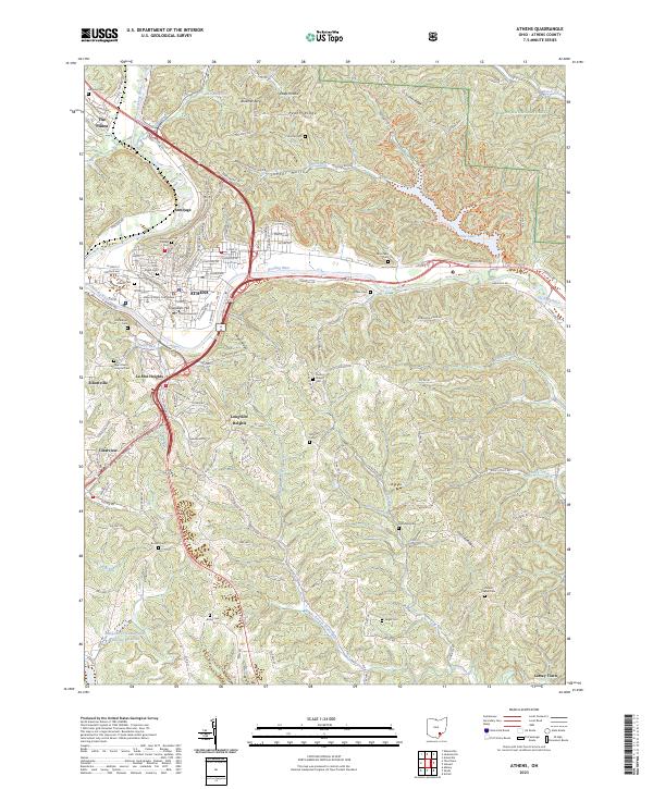
2023 Map of Athens
USGS Topo · Published 2023About this map
The Hocking River winds through this region, anchoring the city of Athens and its prominent institutions. The campus of Ohio University and the historic Athens County Courthouse mark the urban center, while the surrounding hillsides are dotted with residential developments like La Mar Heights and Longview Heights. Significant acreage to the northeast is preserved within the Wayne National Forest, contrasted by the developed tracts of The Plains and Armitage to the northwest.
Find a feature on this map
72 named features on this map. Tap any name to fly to it.
Don’t see what you’re looking for? This feature index may not catch every label — zoom into the map to look around manually.
Map Details
Editions of this 2023 Athens Map
This is the sole edition of this map. No revisions or reprints were ever made.
Other maps of this area

1903 · Athens
USGS Topo · 1:62,500

1904 · Chesterhill
USGS Topo · 1:62,500

1905 · Athens
USGS Topo · 1:62,500

1906 · Chesterhill
USGS Topo · 1:62,500

1907 · Pomeroy
USGS Topo · 1:62,500

1907 · Keno
USGS Topo · 1:62,500

1947 · Columbus
USGS Topo · 1:250,000

1949 · Clarksburg
USGS Topo · 1:250,000

1956 · Clarksburg
USGS Topo · 1:250,000

1960 · Albany
USGS Topo · 1:24,000