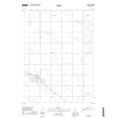
2017 Map of Atkinson
USGS Topo · Published 2017About this map
Atkinson sits at a critical junction of Nebraska water and roadway, where the Elkhorn River winds through the southern landscape and the man-made Mill-Race hints at historical water management. The town is anchored by a traditional grid including W 5th St and N Main St, with Woodlawn Cem situated just west of the primary residential area. North of the settlement, the terrain is defined by the vast section lines of Holt County, punctuated by Atkinson Lake and the Eagle Cr Reservoir to the northeast. This 2017 survey reflects the persistent agricultural character of the region, where a dense network of numbered avenues like 476 Ave and roads such as 883rd Rd facilitate movement across the rolling plains. The presence of Middle Br Eagle Cr and Dry Cr further illustrates the hydrological patterns that have shaped land use and ranching boundaries for generations.
Find a feature on this map
65 named features on this map. Tap any name to fly to it.
Don’t see what you’re looking for? This feature index may not catch every label — zoom into the map to look around manually.
Map Details
Editions of this 2017 Atkinson Map
This is the sole edition of this map. No revisions or reprints were ever made.
Other maps of this area

1954 · Atkinson SE
USGS Topo · 1:24,000

1954 · Atkinson
USGS Topo · 1:24,000

1954 · Stuart SE
USGS Topo · 1:24,000

1954 · Atkinson NW
USGS Topo · 1:24,000

1954 · Atkinson NE
USGS Topo · 1:24,000

1954 · Stuart NE
USGS Topo · 1:24,000

1955 · O'Neill
USGS Topo · 1:250,000

1959 · O'Neill
USGS Topo · 1:250,000

1964 · Emmet NW
USGS Topo · 1:24,000

1964 · Emmet
USGS Topo · 1:24,000