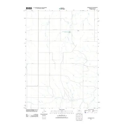
2011 Map of Atkinson NE
USGS Topo · Published 2011About this map
The Phoenix Cemetery and its namesake Phoenix Cemetery Rd anchor this rural landscape in Holt County, where the topography is defined by the elaborate drainage network of Eagle Creek. In the southern portion of the quadrangle, the North Branch Eagle Creek, Middle Branch Eagle Creek, and East Branch Eagle Creek converge near Rock Falls, illustrating the intricate water systems of the Nebraska plains. Man-made interventions in the landscape appear in the form of the Coleman Reservoir Number 2 and Coleman Dam Number 1, which manage the flow of Turkey Creek. This 2011 survey by the U.S. Geological Survey details a grid-based road system, including 485th Ave and 887th Rd, which segment the agricultural land between other waterways like Spring Creek and Oak Creek.
Find a feature on this map
19 named features on this map. Tap any name to fly to it.
Don’t see what you’re looking for? This feature index may not catch every label — zoom into the map to look around manually.
Map Details
Editions of this 2011 Atkinson NE Map
This is the sole edition of this map. No revisions or reprints were ever made.
Other maps of this area

1951 · Butte SW
USGS Topo · 1:24,000

1952 · Spencer South
USGS Topo · 1:24,000

1952 · Butte SE
USGS Topo · 1:24,000

1954 · Atkinson SE
USGS Topo · 1:24,000

1954 · Atkinson
USGS Topo · 1:24,000

1954 · Meek SW
USGS Topo · 1:24,000

1954 · Meek
USGS Topo · 1:24,000

1954 · Atkinson NW
USGS Topo · 1:24,000

1954 · Atkinson NE
USGS Topo · 1:24,000

1955 · O'Neill
USGS Topo · 1:250,000