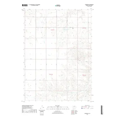
2017 Map of Atkinson NE
USGS Topo · Published 2017About this map
Phoenix Cem sits on a high point above the deeply dissected drainage systems of northern Holt County, where the plains give way to a complex network of creek valleys. This landscape is defined by the headwaters of several prominent waterways, including Turkey Cr, Spring Cr, and Oak Cr, which carve through the terrain toward the Niobrara valley. The map documents a rural Nebraska township structure organized by a grid of numbered roads and avenues, such as 890 RD and 484 Ave, which negotiate the uneven topography.
Find a feature on this map
27 named features on this map. Tap any name to fly to it.
Don’t see what you’re looking for? This feature index may not catch every label — zoom into the map to look around manually.
Map Details
Editions of this 2017 Atkinson NE Map
This is the sole edition of this map. No revisions or reprints were ever made.
Other maps of this area

1951 · Butte SW
USGS Topo · 1:24,000

1952 · Spencer South
USGS Topo · 1:24,000

1952 · Butte SE
USGS Topo · 1:24,000

1954 · Atkinson SE
USGS Topo · 1:24,000

1954 · Atkinson
USGS Topo · 1:24,000

1954 · Meek SW
USGS Topo · 1:24,000

1954 · Meek
USGS Topo · 1:24,000

1954 · Atkinson NW
USGS Topo · 1:24,000

1954 · Atkinson NE
USGS Topo · 1:24,000

1955 · O'Neill
USGS Topo · 1:250,000