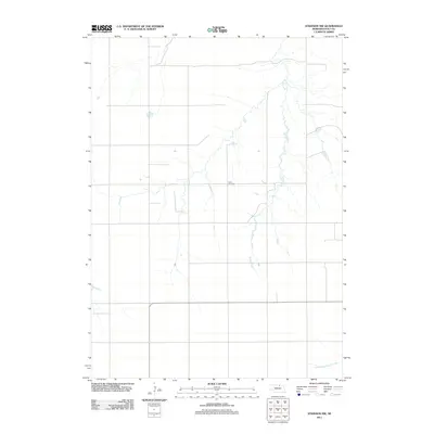
2011 Map of Atkinson NW
USGS Topo · Published 2011About this map
Celia Cemetery sits as a quiet landmark within the rural landscape of Holt County, illustrating the enduring markers of local family history in this agricultural region. The terrain is defined by its water systems, primarily the meandering course of Brush Creek as it flows northward through the central portion of the sheet. In the southeastern corner, the North Branch Eagle Creek adds to the drainage network of the Sandhills transition zone. This 2011 survey by the U.S. Geological Survey reflects the sparse settlement patterns of north-central Nebraska, where the grid of county roads provides the primary structure for the ranching and farming communities that have long occupied these plains.
Find a feature on this map
3 named features on this map. Tap any name to fly to it.
Don’t see what you’re looking for? This feature index may not catch every label — zoom into the map to look around manually.
Map Details
Editions of this 2011 Atkinson NW Map
This is the sole edition of this map. No revisions or reprints were ever made.
Other maps of this area

1951 · Butte SW
USGS Topo · 1:24,000

1951 · Dustin
USGS Topo · 1:24,000

1952 · Butte SE
USGS Topo · 1:24,000

1954 · Atkinson SE
USGS Topo · 1:24,000

1954 · Atkinson
USGS Topo · 1:24,000

1954 · Stuart SE
USGS Topo · 1:24,000

1954 · Atkinson NW
USGS Topo · 1:24,000

1954 · Atkinson NE
USGS Topo · 1:24,000

1954 · Stuart NE
USGS Topo · 1:24,000

1955 · O'Neill
USGS Topo · 1:250,000