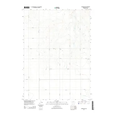
2014 Map of Atkinson NW
USGS Topo · Published 2014About this map
Celia Cem stands as a quiet landmark in this corner of Holt County, situated along the intersection of 888th Rd and 478th Ave. The landscape is defined by the drainage patterns of Brush Cr, which meanders through the eastern sections of the quadrangle, and the headwaters of N Br Eagle Cr in the south. This area of Nebraska maintains a rigid section-line road grid, characteristic of the Great Plains' agricultural development, with routes like Jackson Rd and 480th Ave providing local connectivity. The terrain is marked by subtle elevation changes that guide the flow of seasonal creeks through the open countryside north of Atkinson.
Find a feature on this map
17 named features on this map. Tap any name to fly to it.
Don’t see what you’re looking for? This feature index may not catch every label — zoom into the map to look around manually.
Map Details
Editions of this 2014 Atkinson NW Map
This is the sole edition of this map. No revisions or reprints were ever made.
Other maps of this area

1951 · Butte SW
USGS Topo · 1:24,000

1951 · Dustin
USGS Topo · 1:24,000

1952 · Butte SE
USGS Topo · 1:24,000

1954 · Atkinson SE
USGS Topo · 1:24,000

1954 · Atkinson
USGS Topo · 1:24,000

1954 · Stuart SE
USGS Topo · 1:24,000

1954 · Atkinson NW
USGS Topo · 1:24,000

1954 · Atkinson NE
USGS Topo · 1:24,000

1954 · Stuart NE
USGS Topo · 1:24,000

1955 · O'Neill
USGS Topo · 1:250,000