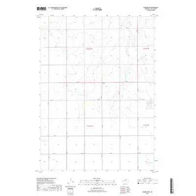
2017 Map of Atkinson NW
USGS Topo · Published 2017About this map
Celia Cem sits as a quiet landmark at the junction of 478 Ave and 888th Rd, serving as a primary point of historical reference in this rural landscape. The terrain is defined by the drainage patterns of Brush Cr, which meanders northward through the central sections, and N Br Eagle Cr in the southeastern corner. This 2017 survey reflects the enduring section-line grid of the Public Land Survey System, where modern roads like 480 Ave and 887th Rd follow the original boundaries of Townships 31 and 32 North. The map reveals a high-plains geography where agriculture and ranching are organized around these vital watercourses, showing how land use in this part of the state remains closely tied to the natural hydrology and the early settlement layout.
Find a feature on this map
18 named features on this map. Tap any name to fly to it.
Don’t see what you’re looking for? This feature index may not catch every label — zoom into the map to look around manually.
Map Details
Editions of this 2017 Atkinson NW Map
This is the sole edition of this map. No revisions or reprints were ever made.
Other maps of this area

1951 · Butte SW
USGS Topo · 1:24,000

1951 · Dustin
USGS Topo · 1:24,000

1952 · Butte SE
USGS Topo · 1:24,000

1954 · Atkinson SE
USGS Topo · 1:24,000

1954 · Atkinson
USGS Topo · 1:24,000

1954 · Stuart SE
USGS Topo · 1:24,000

1954 · Atkinson NW
USGS Topo · 1:24,000

1954 · Atkinson NE
USGS Topo · 1:24,000

1954 · Stuart NE
USGS Topo · 1:24,000

1955 · O'Neill
USGS Topo · 1:250,000