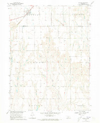
1970 Map of Atlanta
USGS Topo · Published 1973About this map
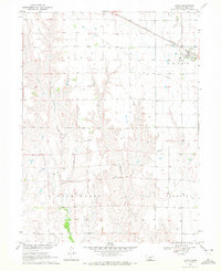
Atlanta sits at the northern edge of this Nebraska landscape, serving as a hub on the Burlington Northern railroad during the early 1970s. The terrain transitions from the flat agricultural lands of the north into a more dissected drainage system to the south, where numerous waterways like Turkey Creek and Flag Creek carve through the prairie. This survey captures the rural character of the border between Phelps and Harlan Counties, organized into named blocks including Albany, Scandinavia, and Washington. Local landmarks such as the Bethel Ch and a series of Roadside Parks provide specific points of interest for genealogists and local historians tracing the distribution of community gathering places in this part of the Great Plains. The map's detail reflects a highly structured agrarian landscape defined by section lines and small creek systems like School Creek and Milrose Creek.
Find a feature on this map
17 named features on this map. Tap any name to fly to it.
Don’t see what you’re looking for? This feature index may not catch every label — zoom into the map to look around manually.
Map Details
Editions of this 1970 Atlanta Map
This is the sole edition of this map. No revisions or reprints were ever made.
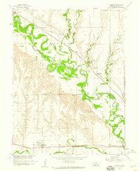
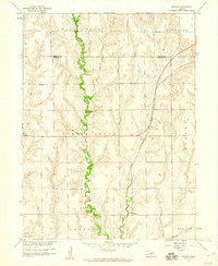
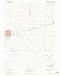
Other maps of this area

1896 · Holdrege
USGS Topo · 1:125,000

1896 · Arapahoe
USGS Topo · 1:125,000

1898 · Arapahoe
USGS Topo · 1:125,000

1955 · Grand Island
USGS Topo · 1:250,000

1957 · Grand Island
USGS Topo · 1:250,000

1958 · Grand Island
USGS Topo · 1:250,000
1958 · Stamford
USGS Topo · 1:24,000
1958 · Mascot
USGS Topo · 1:24,000
1970 · Holdrege East
USGS Topo · 1:24,000
1970 · Loomis
USGS Topo · 1:24,000