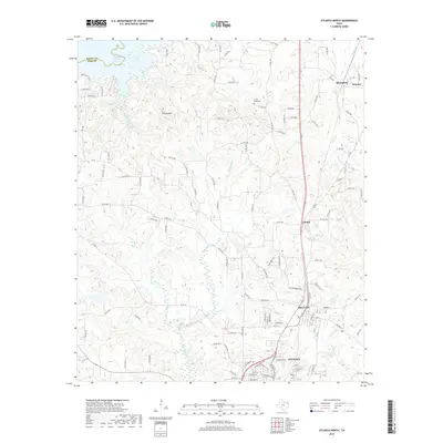
2019 Map of Atlanta North
USGS Topo · Published 2019About this map
Atlanta and Queen City anchor this East Texas landscape, where the piney woods meet the upper reaches of the Sulphur River basin. The map reveals a dense network of county roads and farm-to-market routes connecting established communities like Hickory Hill, Lanark, and Domino. To the northwest, the waters of Wright Patman Lake and Wilkins Creek define the boundary between Bowie and Cass counties. The terrain is deeply dissected by a web of drainages including Black Bayou, Cypress Creek, and Hurricane Creek, reflecting the region's complex hydrology. For genealogists and local historians, the placement of the Forest Home Cemetery and the transition from developed town centers to smaller settlements like Springdale provides a clear view of the area's modern rural character and historical development patterns.
Find a feature on this map
112 named features on this map. Tap any name to fly to it.
Don’t see what you’re looking for? This feature index may not catch every label — zoom into the map to look around manually.
Map Details
Editions of this 2019 Atlanta North Map
This is the sole edition of this map. No revisions or reprints were ever made.
Other maps of this area

1907 · Atlanta
USGS Topo · 1:62,500

1909 · New Boston
USGS Topo · 1:62,500

1909 · Texarkana
USGS Topo · 1:62,500

1910 · Linden
USGS Topo · 1:62,500

1910 · Atlanta
USGS Topo · 1:62,500

1953 · Texarkana
USGS Topo · 1:250,000

1954 · Domino
USGS Topo · 1:24,000

1954 · Lake Texarkana
USGS Topo · 1:24,000
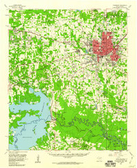
1954 · Texarkana
USGS Topo · 1:62,500

1955 · Maud
USGS Topo · 1:24,000