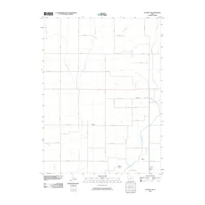
2010 Map of Atlantic SW
USGS Topo · Published 2010About this map
The East Nishnabotna River winds through the southeastern corner of this Pottawattamie County landscape, anchoring a rural region defined by a precise grid of agricultural roads. The settlement of Eranistan sits at the intersection of Newton Rd and Hitchcock Ave, while the surrounding sections are dotted with landmarks significant to local genealogy. Researchers can locate the Whipple Cemetery and Smith Cemetery, which serve as quiet identifiers for the area's established family histories.
Find a feature on this map
32 named features on this map. Tap any name to fly to it.
Don’t see what you’re looking for? This feature index may not catch every label — zoom into the map to look around manually.
Map Details
Editions of this 2010 Atlantic SW Map
This is the sole edition of this map. No revisions or reprints were ever made.
Other maps of this area

1954 · Omaha
USGS Topo · 1:250,000

1957 · Omaha
USGS Topo · 1:250,000

1958 · Omaha
USGS Topo · 1:250,000

1963 · Avoca SE
USGS Topo · 1:24,000

1963 · Avoca
USGS Topo · 1:24,000

1971 · Walnut
USGS Topo · 1:24,000

1971 · Atlantic
USGS Topo · 1:24,000

1971 · Atlantic SW
USGS Topo · 1:24,000

1971 · Lewis
USGS Topo · 1:24,000

1978 · Griswold
USGS Topo · 1:24,000