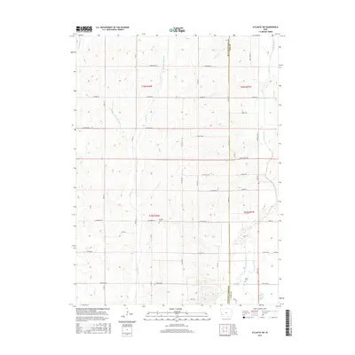
2015 Map of Atlantic SW
USGS Topo · Published 2015About this map
The East Nishnabotna River flows through the southeastern corner of this Iowa landscape, marking a distinct change in the terrain where the structured grid of rural roads meets the winding waterways of the river basin. The border between Pottawattamie and Cass counties bisects the area, while a series of creeks including Walnut Cr, Little Walnut Cr, and Indian Creek drain the surrounding agricultural fields. For local historians and genealogists, the placement of Whipple Cem and Smith Cem provides precise landmarks for early community burial sites. The road network is defined by long, descriptive thoroughfares such as White Pole Rd, Lombardy Rd, and Hickory Rd, which connect the scattered farmsteads of the mid-20th century prairie.
Find a feature on this map
32 named features on this map. Tap any name to fly to it.
Don’t see what you’re looking for? This feature index may not catch every label — zoom into the map to look around manually.
Map Details
Editions of this 2015 Atlantic SW Map
This is the sole edition of this map. No revisions or reprints were ever made.
Other maps of this area

1954 · Omaha
USGS Topo · 1:250,000

1957 · Omaha
USGS Topo · 1:250,000

1958 · Omaha
USGS Topo · 1:250,000

1963 · Avoca SE
USGS Topo · 1:24,000

1963 · Avoca
USGS Topo · 1:24,000

1971 · Walnut
USGS Topo · 1:24,000

1971 · Atlantic
USGS Topo · 1:24,000

1971 · Atlantic SW
USGS Topo · 1:24,000

1971 · Lewis
USGS Topo · 1:24,000

1978 · Griswold
USGS Topo · 1:24,000