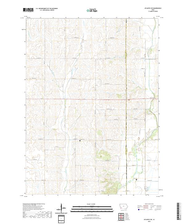
2022 Map of Atlantic SW
USGS Topo · Published 2022About this map
East Nishnabotna River winds through the southeastern corner of this rural Iowa landscape, defining the topography of southeastern Pottawattamie County near its boundary with Cass County. The terrain is deeply etched by a network of drainage systems including Walnut Cr and its tributary Little Walnut Cr, which flow southward through sections once surveyed as t76n r38w. This 2022 survey captures a high-resolution view of the local infrastructure, where a grid of gravel and paved roads serves the agricultural community. Genealogists will find the locations of Whipple Cem and Smith Cem particularly valuable for tracing local family histories. The presence of White Pole Rd reflects the enduring significance of early automobile routes that preceded the modern interstate system, while newer thoroughfares like Co Hwy M56 connect the modern farmsteads scattered across these hills.
Find a feature on this map
44 named features on this map. Tap any name to fly to it.
Don’t see what you’re looking for? This feature index may not catch every label — zoom into the map to look around manually.
Map Details
Editions of this 2022 Atlantic SW Map
This is the sole edition of this map. No revisions or reprints were ever made.
Other maps of this area

1954 · Omaha
USGS Topo · 1:250,000

1957 · Omaha
USGS Topo · 1:250,000

1958 · Omaha
USGS Topo · 1:250,000

1963 · Avoca SE
USGS Topo · 1:24,000

1963 · Avoca
USGS Topo · 1:24,000

1971 · Walnut
USGS Topo · 1:24,000

1971 · Atlantic
USGS Topo · 1:24,000

1971 · Atlantic SW
USGS Topo · 1:24,000

1971 · Lewis
USGS Topo · 1:24,000

1978 · Griswold
USGS Topo · 1:24,000