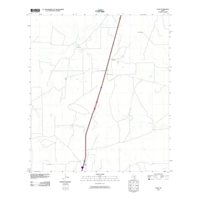
2010 Map of Atlee
USGS Topo · Published 2010About this map
Atlee Siding anchors this South Texas landscape in La Salle County, serving as a vital rail point for the ranching and agricultural operations of the region. The landscape is defined by its intermittent drainage systems, notably Las Raices Creek to the north and Caiman Creek and Tecolate Creek further south. Water management for local use is evidenced by Hill Lake Dam, which creates Hill Lake along the primary transportation corridor. Scattered residences and properties belonging to local families such as R Hendrickson, E Alderman, and T Coleman provide a record of rural land ownership and settlement patterns at the beginning of the 21st century. The path toward Cotulla marks the area's connection to the larger regional trade hubs of the brush country.
Find a feature on this map
12 named features on this map. Tap any name to fly to it.
Don’t see what you’re looking for? This feature index may not catch every label — zoom into the map to look around manually.
Map Details
Editions of this 2010 Atlee Map
This is the sole edition of this map. No revisions or reprints were ever made.
Other maps of this area

1927 · Bart
USGS Topo · 1:62,500

1929 · Cotulla
USGS Topo · 1:125,000

1940 · Cotulla
USGS Topo · 1:62,500

1940 · Artesia Wells
USGS Topo · 1:62,500

1953 · Crystal City
USGS Topo · 1:250,000

1955 · Crystal City
USGS Topo · 1:250,000

1957 · Encinal
USGS Topo · 1:62,500

1957 · Caiman Creek
USGS Topo · 1:62,500

1961 · Crystal City
USGS Topo · 1:250,000

1968 · Crystal City
USGS Topo · 1:250,000