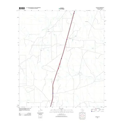
2013 Map of Atlee
USGS Topo · Published 2013About this map
Atlee Siding anchors this South Texas landscape in La Salle County, where the infrastructure of the interstate corridor bisects vast stretches of ranchland. The terrain is defined by ephemeral drainages including Las Raices Cr and Caiman Cr, which cross a topography dotted with stock tanks and small water bodies like Hill Lake. Several family-named sites, such as E Alderman, G Rogers, and H O Brien, are marked across the quadrangle, reflecting the distributed settlement pattern of modern Texas cattle country. Further south, the map identifies T Coleman and R Hendrickson, illustrating the persistent presence of individual homesteads and ranches. Transport is dominated by the Cotulla Frontage Rd, which runs parallel to the primary highway, facilitating movement between local ranch access points and larger regional hubs.
Find a feature on this map
11 named features on this map. Tap any name to fly to it.
Don’t see what you’re looking for? This feature index may not catch every label — zoom into the map to look around manually.
Map Details
Editions of this 2013 Atlee Map
This is the sole edition of this map. No revisions or reprints were ever made.
Other maps of this area

1927 · Bart
USGS Topo · 1:62,500

1929 · Cotulla
USGS Topo · 1:125,000

1940 · Cotulla
USGS Topo · 1:62,500

1940 · Artesia Wells
USGS Topo · 1:62,500

1953 · Crystal City
USGS Topo · 1:250,000

1955 · Crystal City
USGS Topo · 1:250,000

1957 · Encinal
USGS Topo · 1:62,500

1957 · Caiman Creek
USGS Topo · 1:62,500

1961 · Crystal City
USGS Topo · 1:250,000

1968 · Crystal City
USGS Topo · 1:250,000