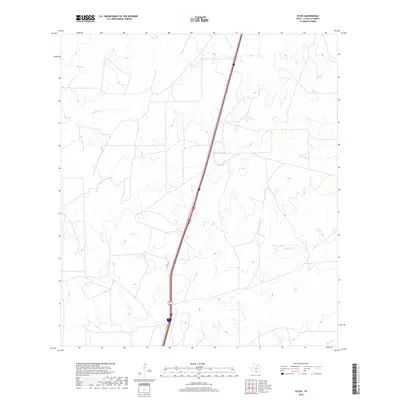
2019 Map of Atlee
USGS Topo · Published 2019About this map
Hill Lake and the drainages of the South Texas brush country define this portion of La Salle County as it appeared in recent years. The landscape is marked by a network of intermittent streams, including Las Raices Cr, Caiman Cr, and Tecolate Cr, which carve through the terrain toward the Nueces River basin. These waterways highlight the region's ranching heritage, where water management is central to the land's utility. A significant transportation corridor runs through the area toward Cotulla, mirroring the historical path of earlier regional routes. This survey provides a precise look at the modern land divisions and hydrological features that continue to shape the rural economy of this part of the state.
Find a feature on this map
5 named features on this map. Tap any name to fly to it.
Don’t see what you’re looking for? This feature index may not catch every label — zoom into the map to look around manually.
Map Details
Editions of this 2019 Atlee Map
This is the sole edition of this map. No revisions or reprints were ever made.
Other maps of this area

1927 · Bart
USGS Topo · 1:62,500

1929 · Cotulla
USGS Topo · 1:125,000

1940 · Cotulla
USGS Topo · 1:62,500

1940 · Artesia Wells
USGS Topo · 1:62,500

1953 · Crystal City
USGS Topo · 1:250,000

1955 · Crystal City
USGS Topo · 1:250,000

1957 · Encinal
USGS Topo · 1:62,500

1957 · Caiman Creek
USGS Topo · 1:62,500

1961 · Crystal City
USGS Topo · 1:250,000

1968 · Crystal City
USGS Topo · 1:250,000