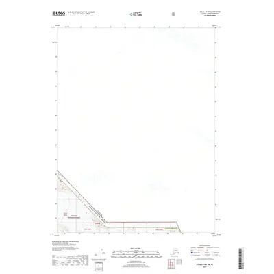
2017 Map of Atlin A-7 NW
USGS Topo · Published 2017About this map
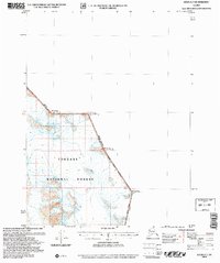
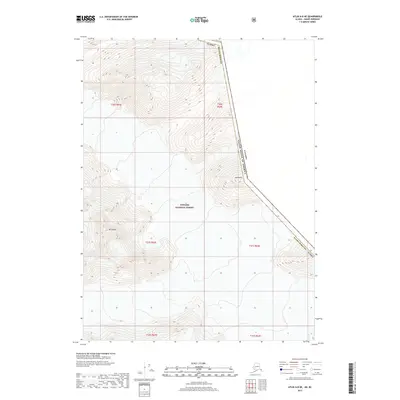
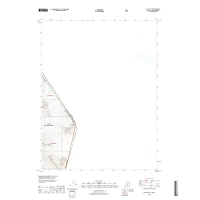
Mt Hislop stands as the primary landmark in this high-latitude survey, marking a significant point along the international boundary where the United States and Canada meet. The map documents the extreme northern reaches of the Tongass National Forest, illustrating a landscape dominated by glaciers and remote peaks within the Haines Borough of Alaska. This 2017 edition provides researchers with precise topographical data on glacial coverage and international border positioning, reflecting the natural character of the Stikine Region at the time of the survey. The lack of settlements or roads underscores the wilderness nature of this border zone, where the primary human footprint is defined by the invisible lines of townships t31s r64e, t32s r64e, and t32s r65e.
Find a feature on this map
8 named features on this map. Tap any name to fly to it.
Don’t see what you’re looking for? This feature index may not catch every label — zoom into the map to look around manually.
Map Details
Editions of this 2017 Atlin A-7 NW Map
This is the sole edition of this map. No revisions or reprints were ever made.
Other maps of this area

1949 · Atlin
USGS Topo · 1:250,000

1951 · Atlin
USGS Topo · 1:250,000

1960 · Atlin A-8
USGS Topo · 1:63,360
1960 · Atlin B-8
USGS Topo · 1:63,360
1960 · Atlin A-7
USGS Topo · 1:63,360

1960 · Atlin
USGS Topo · 1:250,000
2004 · Atlin A-8
USGS Topo · 1:63,360
2004 · Atlin A-7
USGS Topo · 1:63,360
2017 · Atlin A-8 NE
USGS Topo · 1:25,000
2017 · Atlin A-7 SE
USGS Topo · 1:25,000