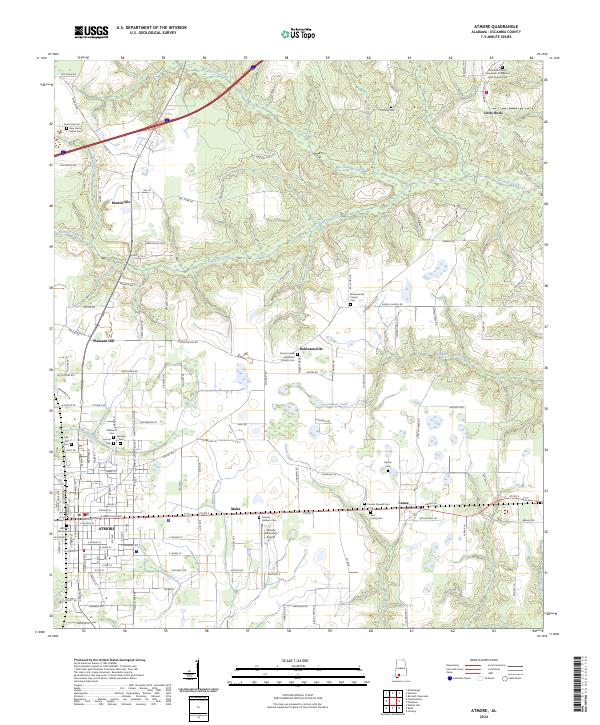
2024 Map of Atmore
USGS Topo · Published 2024About this map
The city of Atmore anchors the southern portion of this Escambia County survey, serving as a regional hub where the grid of city streets transitions into the agricultural landscape of southern Alabama. To the east, the community of Canoe sits along the rail line, while smaller rural settlements like Robinsonville and Martinville are scattered across the northern sections. This 2024 data highlights a complex network of family and community history, evidenced by numerous burial sites such as the New Home Indian Cem, Stallworth Cem, and Fairview Cem.
Find a feature on this map
150 named features on this map. Tap any name to fly to it.
Don’t see what you’re looking for? This feature index may not catch every label — zoom into the map to look around manually.
Map Details
Editions of this 2024 Atmore Map
This is the sole edition of this map. No revisions or reprints were ever made.
Other maps of this area

1941 · Century
USGS Topo · 1:62,500

1942 · Perdido
USGS Topo · 1:62,500

1942 · Dyas
USGS Topo · 1:62,500

1943 · Century
USGS Topo · 1:62,500

1944 · Dyas
USGS Topo · 1:62,500

1944 · Perdido
USGS Topo · 1:62,500

1953 · Andalusia
USGS Topo · 1:250,000

1957 · Andalusia
USGS Topo · 1:250,000

1957 · Pensacola
USGS Topo · 1:250,000

1959 · Pensacola
USGS Topo · 1:250,000