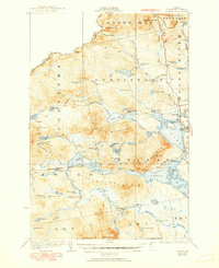
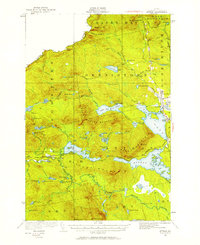
1925 Map of Attean
USGS Topo · Published 1951About this map
Canadian Pacific rails cut through the wilderness of Somerset County in this survey, following a winding route past Jackman Station and the settlement of Holeb. The landscape is dominated by the waters of Moose River and Attean Pond, where Attean Landing sits at the foot of Sally Mountain. This era captures the remote character of northwestern Maine, where small outposts like Boston Ranch and No 5 Farm appear as isolated clearings in the timberlands. Along the northern boundary, Slidedown Mtn and Slidedown Valley define the border crossing near Sandy Bay. The map reveals a world of logging and rail transit, noting transient sites like Foxs Camp and the local Stetson School, reflecting a period when industry and education were deeply tied to the seasonal rhythms of the forest.
Find a feature on this map
80 named features on this map. Tap any name to fly to it.
Don’t see what you’re looking for? This feature index may not catch every label — zoom into the map to look around manually.
Map Details
Editions of this 1925 Attean Map
6 editions found
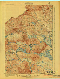
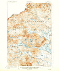
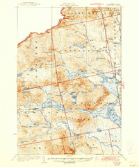
Other maps of this area

1922 · Long Pond
USGS Topo · 1:62,500

1923 · Attean
USGS Topo · 1:62,500

1924 · Long Pond
USGS Topo · 1:62,500

1925 · Pierce Pond
USGS Topo · 1:48,000

1925 · Attean
USGS Topo · 1:62,500

1927 · Sandy Bay
USGS Topo · 1:48,000

1927 · Pierce Pond
USGS Topo · 1:62,500

1928 · Chain Lakes
USGS Topo · 1:48,000

1928 · Skinner
USGS Topo · 1:48,000

1928 · Spencer
USGS Topo · 1:48,000