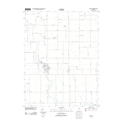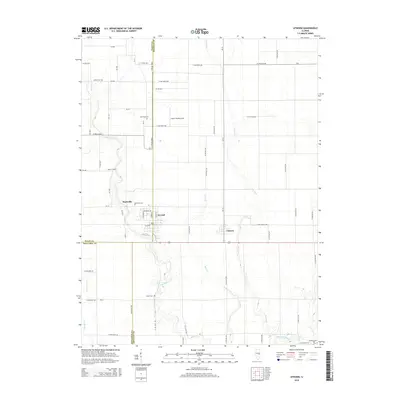
2024 Map of Atwood
USGS Topo · Published 2024About this map
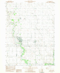
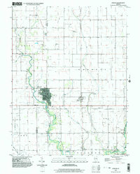
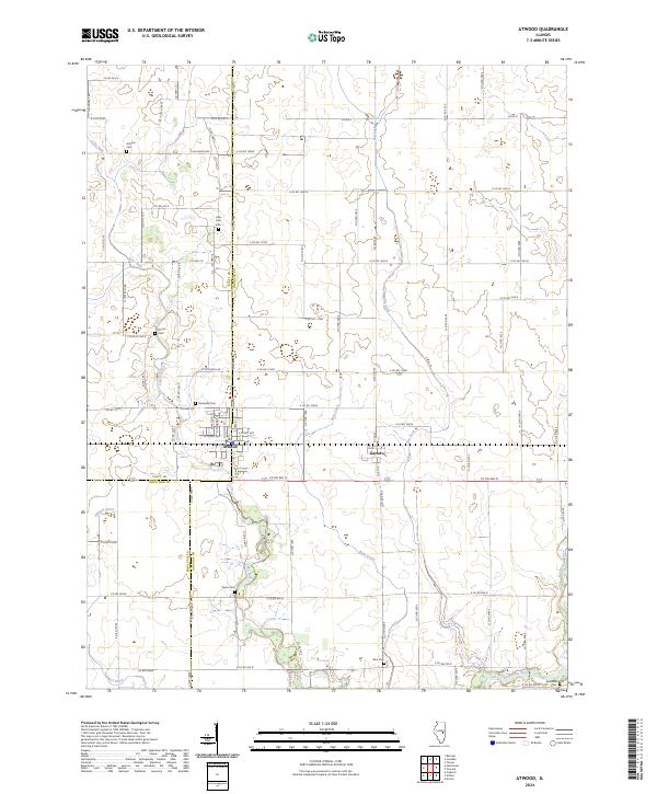
The village of Atwood sits at the intersection of Piatt and Douglas counties, serving as a focal point for this agrarian landscape defined by an intricate network of waterways and county roads. To the east, Garrett marks another key settlement along the drainage of Bear Creek, while the Kaskaskia River winds through the southeastern corner. The map reveals a high density of rural burial sites, including Antioch Cem, Lake Fork Cem, and Mackville Cem, which are vital markers for genealogical research in this part of Illinois.
Find a feature on this map
84 named features on this map. Tap any name to fly to it.
Don’t see what you’re looking for? This feature index may not catch every label — zoom into the map to look around manually.
Map Details
Editions of this 2024 Atwood Map
This is the sole edition of this map. No revisions or reprints were ever made.
Historical Maps of Garrett Through Time
7 maps found