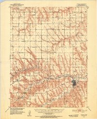
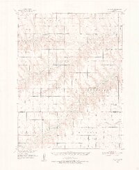
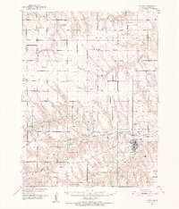
1951 Map of Atwood
USGS Topo · Published 1952About this map
Beaver Creek and its tributaries define this pocket of Rawlins County, where the agricultural landscape is marked by a high density of rural schoolhouses and country churches. The map captures a period of early 1950s development as part of the Missouri River Basin project, showing a network of small townships like Driftwood and Celia. The Burlington and Chicago railroad corridor connects the settlements of Beardsley and Blakeman to the county seat.
Find a feature on this map
36 named features on this map. Tap any name to fly to it.
Don’t see what you’re looking for? This feature index may not catch every label — zoom into the map to look around manually.
Map Details
Editions of this 1951 Atwood Map
2 editions found
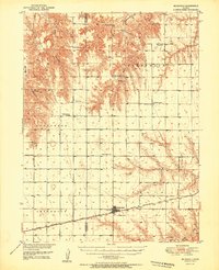
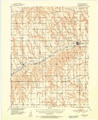
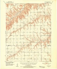
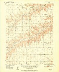
Other maps of this area
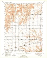
1950 · Mc Donald
USGS Topo · 1:62,500
1951 · Mc Donald
USGS Topo · 1:62,500
1951 · Herndon
USGS Topo · 1:62,500
1951 · Achilles
USGS Topo · 1:62,500
1951 · Atwood
USGS Topo · 1:62,500
1951 · Chardon
USGS Topo · 1:62,500
1951 · Dewey Ranch
USGS Topo · 1:62,500

1954 · McCook
USGS Topo · 1:250,000

1954 · Goodland
USGS Topo · 1:250,000

1956 · Goodland
USGS Topo · 1:250,000