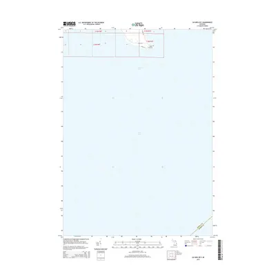
2014 Map of Au Gres OE S
USGS Topo · Published 2014About this map
Point au Gres anchors the northern shoreline on this survey, where the terrestrial landscape of Au Gres Township meets the expansive waters of Saginaw Bay. The map is primarily an aquatic study, depicting a significant portion of Lake Huron and the submerged boundary where Arenac Co and Huron Co meet in the open water. On the limited landmass, a small network of local thoroughfares including N Rumsey Rd, E Booth Rd, and Augres Ln provides access to the point. This documentation of the shoreline provides a precise look at the coastal geography and township lines of T19N R6E and T18N R7E just after the first decade of the millennium.
Find a feature on this map
11 named features on this map. Tap any name to fly to it.
Don’t see what you’re looking for? This feature index may not catch every label — zoom into the map to look around manually.
Map Details
Editions of this 2014 Au Gres OE S Map
This is the sole edition of this map. No revisions or reprints were ever made.
Other maps of this area

1954 · Flint
USGS Topo · 1:250,000

1954 · Tawas City
USGS Topo · 1:250,000

1958 · Flint
USGS Topo · 1:250,000

1958 · Tawas City
USGS Topo · 1:250,000

1966 · Point Lookout
USGS Topo · 1:24,000

1966 · Au Gres
USGS Topo · 1:24,000
1967 · Standish NE
USGS Topo · 1:24,000
1968 · Omer
USGS Topo · 1:24,000

1984 · Tawas City
USGS Topo · 1:100,000
1984 · Bay City
USGS Topo · 1:100,000