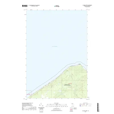
2019 Map of Au Sable Point
USGS Topo · Published 2019About this map
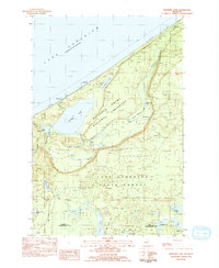
Au Sable Point projects into the expansive waters of Lake Superior, serving as a prominent geographical marker along this stretch of the Michigan shoreline. The landscape is largely protected within the Pictured Rocks National Lakeshore, where the N Country National Scenic Trail follows the coastal contours. This 2019 survey illustrates the intersection of natural hydrology and modern recreation, featuring the Hurricane River and Sullivan Cr flowing toward the lake, with the isolated Sullivan Lake situated further inland. Transportation through this forested corridor is managed via Cty Hwy 58 and its auxiliary routes like H-58 Seasonal Rd, which provide access to the remote wilderness. The map details the transition from the sandy and wooded upland terrain down to the water's edge, preserving the layout of the park's trail systems and seasonal access points as they existed in the late 2010s.
Find a feature on this map
12 named features on this map. Tap any name to fly to it.
Don’t see what you’re looking for? This feature index may not catch every label — zoom into the map to look around manually.
Map Details
Editions of this 2019 Au Sable Point Map
This is the sole edition of this map. No revisions or reprints were ever made.
Other maps of this area

1958 · Grand Portal Point
USGS Topo · 1:62,500

1958 · Marquette
USGS Topo · 1:250,000

1960 · Marquette
USGS Topo · 1:250,000

1961 · Marquette
USGS Topo · 1:250,000

1966 · Au Sable Point SE
USGS Topo · 1:24,000
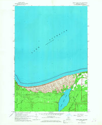
1966 · Grand Sable Lake
USGS Topo · 1:24,000
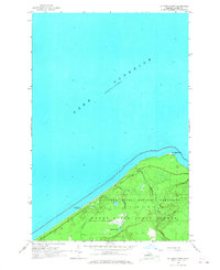
1966 · Au Sable Point
USGS Topo · 1:24,000
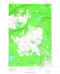
1966 · Au Sable Point SW
USGS Topo · 1:24,000

1968 · Marquette
USGS Topo · 1:250,000
1983 · Trappers Lake
USGS Topo · 1:24,000