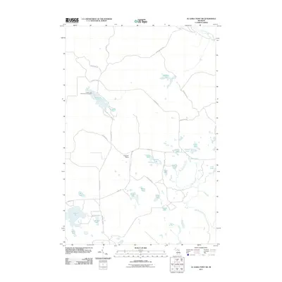
2011 Map of Au Sable Point SW
USGS Topo · Published 2011About this map
Pictured Rocks Natl Lakeshore encompasses the northwestern portion of this Michigan landscape, where the Hurricane River Trl follows the course of the Hurricane River. The interior is characterized by the Kingston Plains and an extensive network of small lakes and ponds, including Kingston Lake and the adjacent Kingston Lake State Forest Campground. This 2011 survey captures a region defined by its hydrography, with the headwaters of the West Branch Fox River, Little Fox River, and Pelican Creek draining the eastern half of the quadrangle.
Find a feature on this map
41 named features on this map. Tap any name to fly to it.
Don’t see what you’re looking for? This feature index may not catch every label — zoom into the map to look around manually.
Map Details
Editions of this 2011 Au Sable Point SW Map
This is the sole edition of this map. No revisions or reprints were ever made.
Other maps of this area
1931 · Driggs Lake NE
USGS Topo · 1:31,680
1931 · Shingleton NE
USGS Topo · 1:31,680
1931 · Driggs Lake NW
USGS Topo · 1:31,680
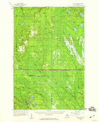
1958 · Shingleton
USGS Topo · 1:62,500
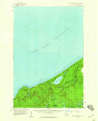
1958 · Grand Portal Point
USGS Topo · 1:62,500
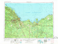
1958 · Marquette
USGS Topo · 1:250,000
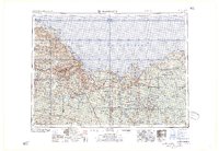
1960 · Marquette
USGS Topo · 1:250,000
1961 · Marquette
USGS Topo · 1:250,000
1966 · Au Sable Point SE
USGS Topo · 1:24,000
1966 · Grand Sable Lake
USGS Topo · 1:24,000