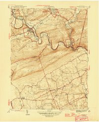
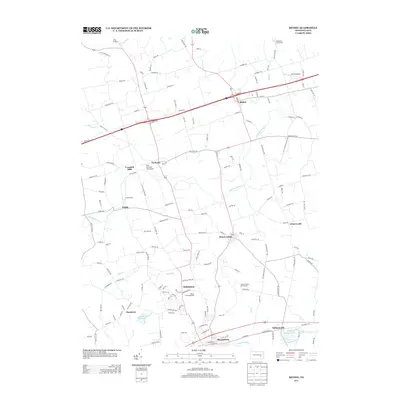
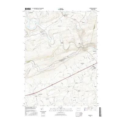
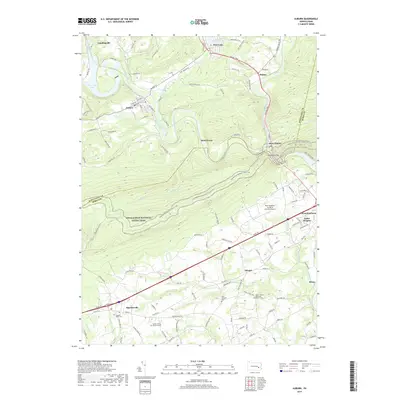
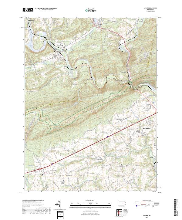
1946 Map of Auburn
USGS Topo · Published 1946About this map
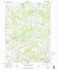
The Schuylkill River carves a winding path through the gap between South Mountain and Blue Mountain on this 1946 War Department survey. This rugged corridor is defined by the heavy infrastructure of the Reading and Pennsylvania railroads, which parallel the river and serve established industrial boroughs like Auburn and Port Clinton. The landscape is a mix of tight river-valley industry and the broad agricultural reaches of Tilden and Upper Bern townships to the south.
Find a feature on this map
38 named features on this map. Tap any name to fly to it.
Don’t see what you’re looking for? This feature index may not catch every label — zoom into the map to look around manually.
Map Details
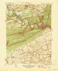
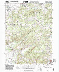
Editions of this 1946 Auburn Map
2 editions found
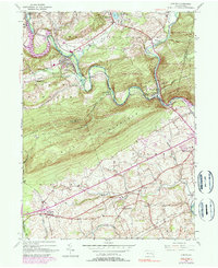
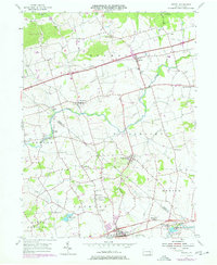
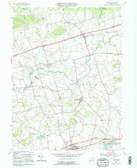
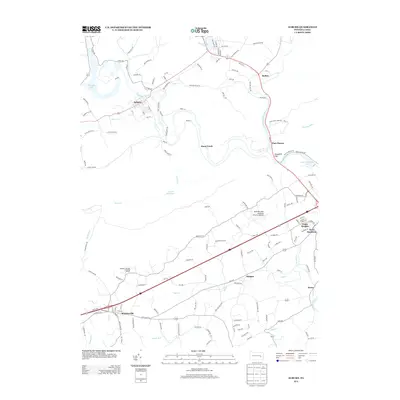
Historical Maps of Hamburg Through Time
23 maps found

1943 Manatawny
Berks County, PA
1945 Auburn
Berks County, PA
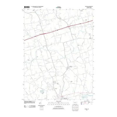
1946 Auburn
Berks County, PA
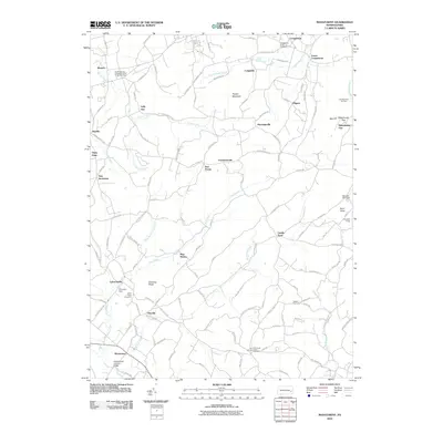
1955 Bethel
Berks County, PA
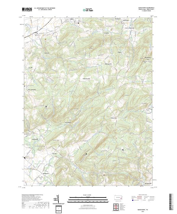
1957 Manatawny
Berks County, PA
1992 Bethel
Berks County, PA

1999 Auburn
Berks County, PA
1999 Manatawny
Berks County, PA
2010 Auburn
Berks County, PA
2010 Bethel
Berks County, PA
2010 Manatawny
Berks County, PA
2013 Auburn
Berks County, PA
2013 Bethel
Berks County, PA
2013 Manatawny
Berks County, PA
2016 Auburn
Berks County, PA
2016 Bethel
Berks County, PA
2016 Manatawny
Berks County, PA
2019 Auburn
Berks County, PA
2019 Bethel
Berks County, PA

2019 Manatawny
Berks County, PA
2023 Auburn
Berks County, PA
2023 Bethel
Berks County, PA
2023 Manatawny
Berks County, PA