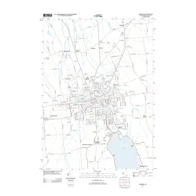
2013 Map of Auburn
USGS Topo · Published 2013About this map
Owasco Lake and the Owasco River define the southern landscape of this region, where the city grid meets the agricultural reaches of Cayuga County. The map documents a dense network of suburban and rural developments, including the Melrose Park community and the recreation areas at Highland Beach. Commercial and educational hubs are prominent, from the Finger Lakes Mall in the west to Cayuga County Community College centrally located near the Auburn Reservoir.
Find a feature on this map
234 named features on this map. Tap any name to fly to it.
Don’t see what you’re looking for? This feature index may not catch every label — zoom into the map to look around manually.
Map Details
Editions of this 2013 Auburn Map
This is the sole edition of this map. No revisions or reprints were ever made.
Other maps of this area

1899 · Auburn
USGS Topo · 1:62,500

1899 · Skaneateles
USGS Topo · 1:62,500

1900 · Baldwinsville
USGS Topo · 1:62,500

1902 · Skaneateles
USGS Topo · 1:62,500

1902 · Weedsport
USGS Topo · 1:62,500

1902 · Auburn
USGS Topo · 1:62,500

1943 · Jordan
USGS Topo · 1:31,680

1943 · Montezuma
USGS Topo · 1:31,680

1943 · Cayuga
USGS Topo · 1:31,680

1943 · Owasco
USGS Topo · 1:31,680