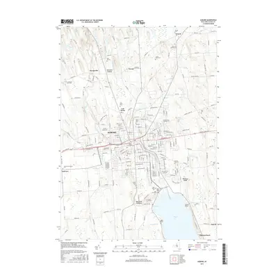
2016 Map of Auburn
USGS Topo · Published 2016About this map
Auburn serves as the focal point of this survey, anchoring a landscape where the Owasco River and various brooks like Crane Brook and Sucker Brook define the local hydrology. The area is dense with historical burial sites, ranging from the large Fort Hill Cem in the city center to smaller family and community grounds such as Farmer Family Cem and the Saint Nicholas Russian Cem near Half Acre. Education and recreation are represented by the Cayuga County Community Coll and the lakeside development at Highland Beach.
Find a feature on this map
205 named features on this map. Tap any name to fly to it.
Don’t see what you’re looking for? This feature index may not catch every label — zoom into the map to look around manually.
Map Details
Editions of this 2016 Auburn Map
This is the sole edition of this map. No revisions or reprints were ever made.
Other maps of this area

1899 · Auburn
USGS Topo · 1:62,500

1899 · Skaneateles
USGS Topo · 1:62,500

1900 · Baldwinsville
USGS Topo · 1:62,500

1902 · Skaneateles
USGS Topo · 1:62,500

1902 · Weedsport
USGS Topo · 1:62,500

1902 · Auburn
USGS Topo · 1:62,500

1943 · Jordan
USGS Topo · 1:31,680

1943 · Montezuma
USGS Topo · 1:31,680

1943 · Cayuga
USGS Topo · 1:31,680

1943 · Owasco
USGS Topo · 1:31,680