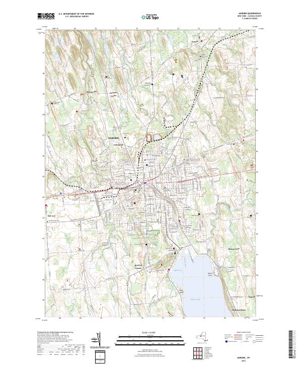
2023 Map of Auburn
USGS Topo · Published 2023About this map
The Harriet Tubman National Historical Park anchors the southern portion of this modern survey of the Finger Lakes region, marking a site of immense significance in American history. As the city of Auburn transitions into the surrounding agricultural landscape of Cayuga County, a dense network of local history is revealed through numerous legacy burial grounds, including the Fort Hill Cem and the McMasters Corners Cem. The map tracks the vital water system of the Owasco River as it flows north from Owasco Lake, passing the industrial and civic core at the Cayuga County Courthouse. Outlying settlements such as Throopsville, Sennett, and Half Acre maintain their distinct identities even as modern development extends from the city center toward the Auburn Reservoir.
Find a feature on this map
74 named features on this map. Tap any name to fly to it.
Don’t see what you’re looking for? This feature index may not catch every label — zoom into the map to look around manually.
Map Details
Editions of this 2023 Auburn Map
This is the sole edition of this map. No revisions or reprints were ever made.
Other maps of this area

1899 · Auburn
USGS Topo · 1:62,500

1899 · Skaneateles
USGS Topo · 1:62,500

1900 · Baldwinsville
USGS Topo · 1:62,500

1902 · Skaneateles
USGS Topo · 1:62,500

1902 · Weedsport
USGS Topo · 1:62,500

1902 · Auburn
USGS Topo · 1:62,500

1943 · Jordan
USGS Topo · 1:31,680

1943 · Montezuma
USGS Topo · 1:31,680

1943 · Cayuga
USGS Topo · 1:31,680

1943 · Owasco
USGS Topo · 1:31,680