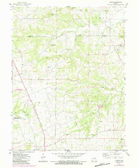
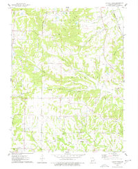
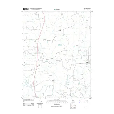
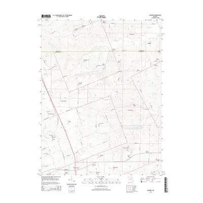
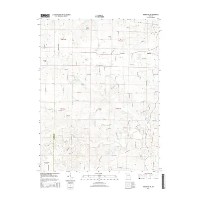
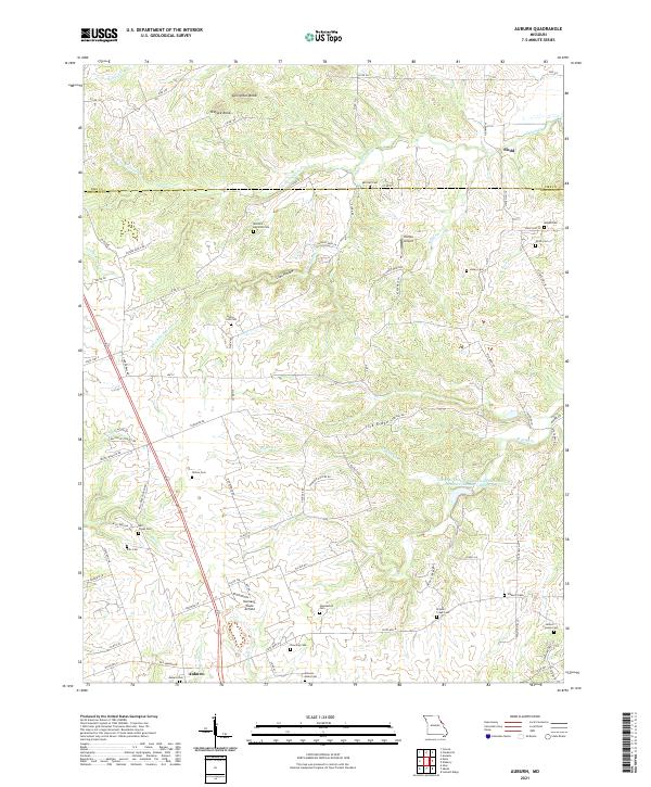
1975 Map of Auburn
USGS Topo · Published 1984About this map
Auburn stands as a primary focal point at the intersection of local roads and an extensive Pipeline corridor in this mid-1970s landscape. The map reveals a deeply established rural cemetery network, documenting family legacies through names like Mitchell-Reynolds Cem, Halley-Liles Cem, and Howdeshell Cem. These burial grounds are scattered across the townships of Prairieville, Calumet, and Hurricane, often situated near the winding courses of the North Fork Cuivre River and South Fork Cuivre River.
Find a feature on this map
39 named features on this map. Tap any name to fly to it.
Don’t see what you’re looking for? This feature index may not catch every label — zoom into the map to look around manually.
Map Details
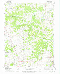
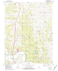
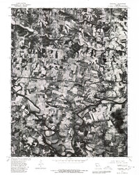
Editions of this 1975 Auburn Map
2 editions found
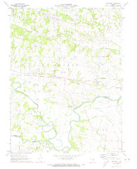
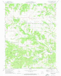
Historical Maps of Sledd Through Time
26 maps found
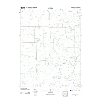
1972 Maryknoll
Lincoln County, MO
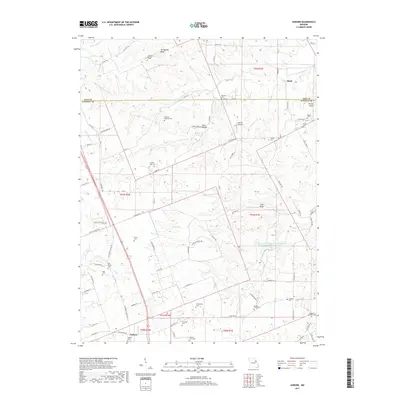
1973 Warrenton NE
Lincoln County, MO
1975 Auburn
Lincoln County, MO
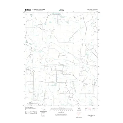
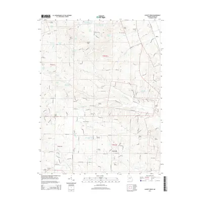
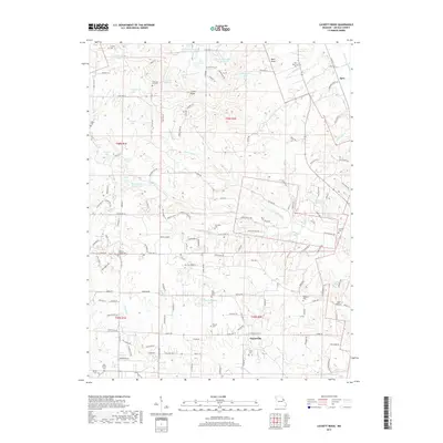
1975 Luckett Ridge
Lincoln County, MO
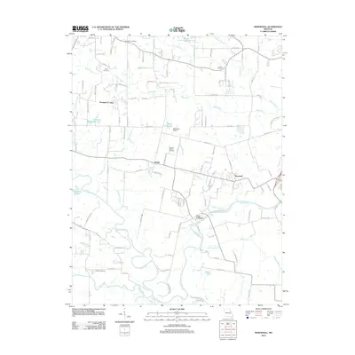
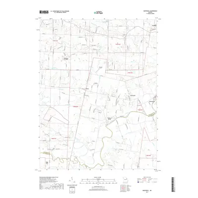
1975 Okete
Lincoln County, MO
1979 Maryknoll
Lincoln County, MO
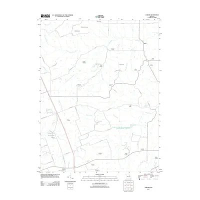
2011 Auburn
Lincoln County, MO
2011 Luckett Ridge
Lincoln County, MO
2011 Okete
Lincoln County, MO
2012 Maryknoll
Lincoln County, MO
2012 Warrenton NE
Lincoln County, MO
2014 Auburn
Lincoln County, MO
2014 Luckett Ridge
Lincoln County, MO
2014 Okete
Lincoln County, MO
2015 Maryknoll
Lincoln County, MO
2015 Warrenton NE
Lincoln County, MO
2017 Auburn
Lincoln County, MO
2017 Luckett Ridge
Lincoln County, MO
2017 Maryknoll
Lincoln County, MO
2017 Okete
Lincoln County, MO
2017 Warrenton NE
Lincoln County, MO
2021 Auburn
Lincoln County, MO
2021 Luckett Ridge
Lincoln County, MO
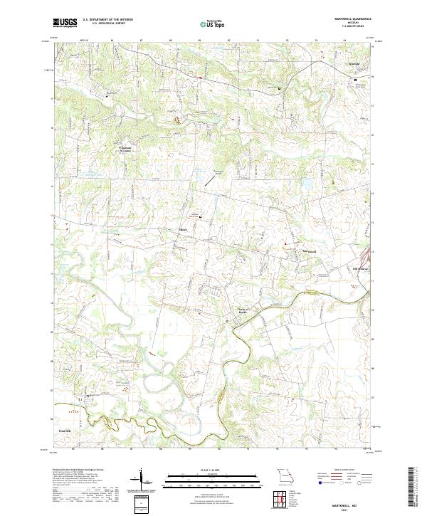
2021 Maryknoll
Lincoln County, MO
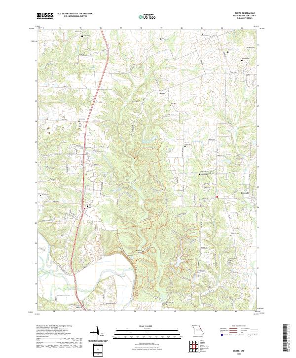
2021 Okete
Lincoln County, MO
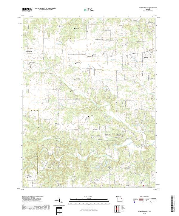
2021 Warrenton NE
Lincoln County, MO