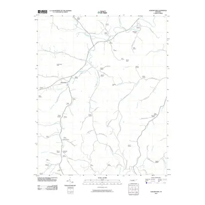
2010 Map of Auburntown
USGS Topo · Published 2010About this map
Auburntown serves as the central hub of this Middle Tennessee landscape, where the town plan centers on W Main St near the confluence of Saunders Fork and Leach Creek. The surrounding terrain is defined by a dense network of named hollows and ridges, such as Bryson Ridge and Fodderstack Knob, which dictate the winding paths of rural routes like Kennedy Creek Rd and Hurricane Creek Rd. Genealogists will find a high concentration of family burial grounds scattered across the countryside, including the Milligan Alexander Cemetery, Odom Cemetery, and Duggin Cemetery. These sites, often situated near family-named landmarks like Duggin Hollow and Alexander Hollow, provide a detailed record of the long-standing community ties within the drainages of Smith Fork Creek and Hurricane Creek.
Find a feature on this map
92 named features on this map. Tap any name to fly to it.
Don’t see what you’re looking for? This feature index may not catch every label — zoom into the map to look around manually.
Map Details
Editions of this 2010 Auburntown Map
This is the sole edition of this map. No revisions or reprints were ever made.
Other maps of this area

1893 · Mc Minnville
USGS Topo · 1:125,000

1895 · Mc Minnville
USGS Topo · 1:125,000

1908 · Woodbury
USGS Topo · 1:62,500

1928 · Gordonsville
USGS Topo · 1:62,500

1942 · Statesville
USGS Topo · 1:100,000

1953 · Chattanooga
USGS Topo · 1:250,000

1956 · Columbia
USGS Topo · 1:250,000

1956 · Corbin
USGS Topo · 1:250,000

1956 · Nashville
USGS Topo · 1:250,000

1957 · Chattanooga
USGS Topo · 1:250,000