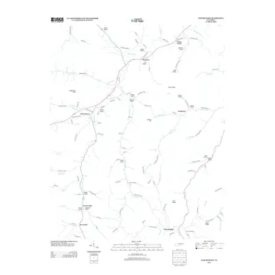
2013 Map of Auburntown
USGS Topo · Published 2013About this map
Auburntown sits at the western edge of this Tennessee landscape, where the waters of Saunders Fork and Marshall Cr converge. The topography is defined by an intricate network of hollows and ridges, reflecting a long history of rural settlement patterns shaped by the creek-bottoms. Small communities like Cottage Home, Prosperity, and Stringtown are linked by winding roads that follow the natural contours of the land, such as Old State Hwy 96.
Find a feature on this map
119 named features on this map. Tap any name to fly to it.
Don’t see what you’re looking for? This feature index may not catch every label — zoom into the map to look around manually.
Map Details
Editions of this 2013 Auburntown Map
This is the sole edition of this map. No revisions or reprints were ever made.
Other maps of this area

1893 · Mc Minnville
USGS Topo · 1:125,000

1895 · Mc Minnville
USGS Topo · 1:125,000

1908 · Woodbury
USGS Topo · 1:62,500

1928 · Gordonsville
USGS Topo · 1:62,500

1942 · Statesville
USGS Topo · 1:100,000

1953 · Chattanooga
USGS Topo · 1:250,000

1956 · Columbia
USGS Topo · 1:250,000

1956 · Corbin
USGS Topo · 1:250,000

1956 · Nashville
USGS Topo · 1:250,000

1957 · Chattanooga
USGS Topo · 1:250,000