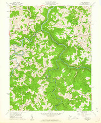
1960 Map of Audra
USGS Topo · Published 1962About this map
The Tygart Valley River and Middle Fork River converge in this rugged section of West Virginia, where industrial rail lines trace the deep river valleys. The Baltimore and Ohio railroad serves as the primary artery for the region, connecting coal-rich areas and small communities like Tygart Junction and Carrollton. Significant local landmarks include Audra State Park, established along the boulder-strewn banks of the Middle Fork, and numerous upland settlements such as Boulder (Rangoon PO). The map reveals a landscape defined by its rural institutions, with a high density of country churches and schools like Bethany Ch, Bethel Ch, and the Swamp Run Sch. Small-scale resource extraction is evident through scattered labels for a Quarry and Strip Mine, highlighting the era's reliance on the local terrain for industry.
Find a feature on this map
62 named features on this map. Tap any name to fly to it.
Don’t see what you’re looking for? This feature index may not catch every label — zoom into the map to look around manually.
Map Details
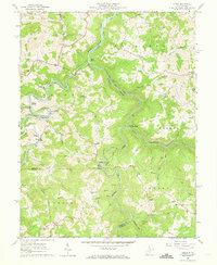
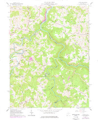
Editions of this 1960 Audra Map
3 editions found
Other maps of this area

1886 · St. George
USGS Topo · 1:125,000

1889 · Beverly
USGS Topo · 1:125,000

1891 · St. George
USGS Topo · 1:125,000

1892 · Beverly
USGS Topo · 1:125,000

1893 · Buckhannon
USGS Topo · 1:125,000

1896 · Buckhannon
USGS Topo · 1:125,000

1897 · Buckhannon
USGS Topo · 1:125,000

1904 · Philippi
USGS Topo · 1:62,500

1907 · Belington
USGS Topo · 1:62,500

1909 · Elkins
USGS Topo · 1:62,500