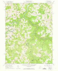
1960 Map of Audra
USGS Topo · Published 1973About this map
Audra State Park and the deep winding canyons of the Middle Fork River define this corner of the Appalachian Plateau during the late 1950s. The landscape is a complex intersection of natural watercourses and industrial progress, where the Baltimore and Ohio railroad follows the contours of the Tygart Valley to serve local extraction sites like the Strip Mines near Barker. Small rural communities and family-named landmarks are scattered throughout the hills, including Carrollton, Boulder (Rangoon PO), and Five Forks. The map provides significant genealogical value through its density of named local institutions, such as Mt Vernon Ch, Bethany Cem, and numerous one-room schoolhouses like Campbell Sch and Union Sch that anchored these mountain neighborhoods before further consolidation.
Find a feature on this map
66 named features on this map. Tap any name to fly to it.
Don’t see what you’re looking for? This feature index may not catch every label — zoom into the map to look around manually.
Map Details
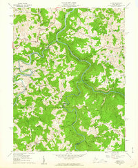
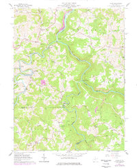
Editions of this 1960 Audra Map
3 editions found
Other maps of this area

1886 · St. George
USGS Topo · 1:125,000

1889 · Beverly
USGS Topo · 1:125,000

1891 · St. George
USGS Topo · 1:125,000

1892 · Beverly
USGS Topo · 1:125,000

1893 · Buckhannon
USGS Topo · 1:125,000

1896 · Buckhannon
USGS Topo · 1:125,000

1897 · Buckhannon
USGS Topo · 1:125,000

1904 · Philippi
USGS Topo · 1:62,500

1907 · Belington
USGS Topo · 1:62,500

1909 · Elkins
USGS Topo · 1:62,500