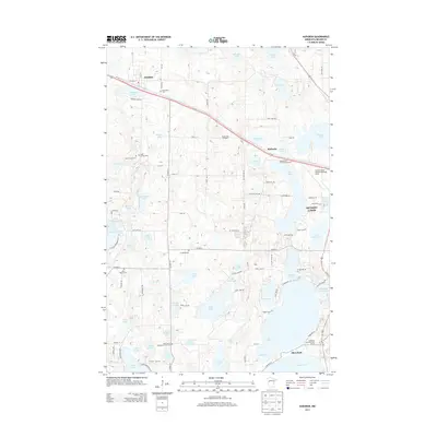
2013 Map of Audubon
USGS Topo · Published 2013About this map
The town of Audubon anchors the northwestern portion of this Becker County survey, situated along the Us-10 corridor and just north of Audubon Lake. The landscape is dominated by a dense concentration of glacial lakes, ranging from larger bodies like Lake Sallie and Saint Clair Lake to smaller named waters such as Skaein Lake, Moe Lake, and Pearl Lake. This aquatic topography has shaped the local development, with Shoreham and portions of Detroit Lakes emerging near the shoreline of the larger basins.
Find a feature on this map
95 named features on this map. Tap any name to fly to it.
Don’t see what you’re looking for? This feature index may not catch every label — zoom into the map to look around manually.
Map Details
Editions of this 2013 Audubon Map
This is the sole edition of this map. No revisions or reprints were ever made.
Other maps of this area

1912 · Vergas
USGS Topo · 1:62,500

1914 · Pelican Rapids
USGS Topo · 1:62,500

1915 · Vergas
USGS Topo · 1:62,500

1917 · Pelican Rapids
USGS Topo · 1:62,500

1953 · Fargo
USGS Topo · 1:250,000

1953 · Brainerd
USGS Topo · 1:250,000

1956 · Fargo
USGS Topo · 1:250,000

1957 · Brainerd
USGS Topo · 1:250,000

1958 · Brainerd
USGS Topo · 1:250,000

1959 · Richwood
USGS Topo · 1:24,000