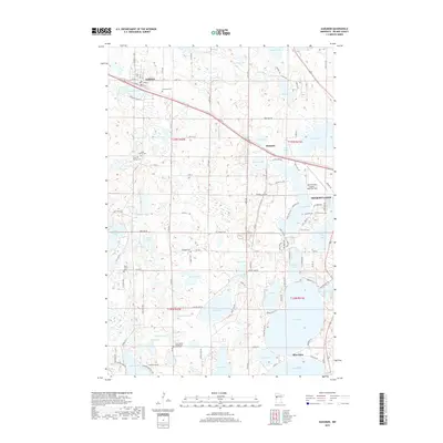
2019 Map of Audubon
USGS Topo · Published 2019About this map
Audubon sits at the northwestern edge of this Becker County landscape, where the prairie begins to give way to the glacial lake country of Minnesota. This survey highlights a dense concentration of water bodies including Audubon Lake, Pearl Lake, and the larger Lake Melissa to the south. The settlement patterns are defined by a mix of early burial sites and modern transportation infrastructure, with the Detroit Lakes Airport-Wething Field positioned between the growing hub of Detroit Lakes and the surrounding rural townships. Genealogists will find several notable local landmarks such as Immanuel Cem, Saint Peter's Cem, and the Cook Family Cem. The terrain is characterized by intricate shorelines and wetlands, with the southern portion featuring seasonal communities like Shoreham and the Lake Eunice Evangelical Free Cem serving as local cultural markers in the township transition between t139n r42w and t138n r41w.
Find a feature on this map
102 named features on this map. Tap any name to fly to it.
Don’t see what you’re looking for? This feature index may not catch every label — zoom into the map to look around manually.
Map Details
Editions of this 2019 Audubon Map
This is the sole edition of this map. No revisions or reprints were ever made.
Other maps of this area
1912 · Vergas
USGS Topo · 1:62,500
1914 · Pelican Rapids
USGS Topo · 1:62,500
1915 · Vergas
USGS Topo · 1:62,500
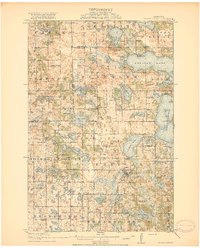
1917 · Pelican Rapids
USGS Topo · 1:62,500

1953 · Fargo
USGS Topo · 1:250,000

1953 · Brainerd
USGS Topo · 1:250,000

1956 · Fargo
USGS Topo · 1:250,000

1957 · Brainerd
USGS Topo · 1:250,000
1958 · Brainerd
USGS Topo · 1:250,000
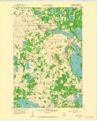
1959 · Richwood
USGS Topo · 1:24,000