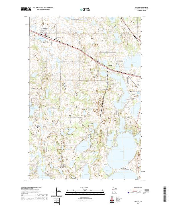
2022 Map of Audubon
USGS Topo · Published 2022About this map
The town of Audubon anchors this modern survey of Becker County, highlighting a landscape defined by an intricate network of glacial lakes and wetlands. The village sits just north of Audubon Lake, while the eastern reaches of the map transition into the outskirts of Detroit Lakes, featuring the Detroit Lakes Airport-Wething Field. The area's agricultural and rural character is punctuated by numerous family and community landmarks, providing valuable data for those tracing local heritage.
Find a feature on this map
107 named features on this map. Tap any name to fly to it.
Don’t see what you’re looking for? This feature index may not catch every label — zoom into the map to look around manually.
Map Details
Editions of this 2022 Audubon Map
This is the sole edition of this map. No revisions or reprints were ever made.
Other maps of this area

1912 · Vergas
USGS Topo · 1:62,500

1914 · Pelican Rapids
USGS Topo · 1:62,500

1915 · Vergas
USGS Topo · 1:62,500

1917 · Pelican Rapids
USGS Topo · 1:62,500

1953 · Fargo
USGS Topo · 1:250,000

1953 · Brainerd
USGS Topo · 1:250,000

1956 · Fargo
USGS Topo · 1:250,000

1957 · Brainerd
USGS Topo · 1:250,000

1958 · Brainerd
USGS Topo · 1:250,000

1959 · Richwood
USGS Topo · 1:24,000