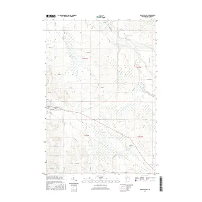
2015 Map of Augusta East
USGS Topo · Published 2015About this map
The eastern edges of Augusta anchor this survey, revealing a landscape defined by the drainage basins of the Eau Claire River and its numerous tributaries. Settled along the western margin, the town's street grid includes W Brown St and Colfax St, with the East Lawn Cem located on the outskirts. The geography transitions from the residential blocks of the city into the more open spaces of Diamond Valley, where the land is carved by the winding paths of Bridge Cr and Diamond Valley Cr.
Find a feature on this map
65 named features on this map. Tap any name to fly to it.
Don’t see what you’re looking for? This feature index may not catch every label — zoom into the map to look around manually.
Map Details
Editions of this 2015 Augusta East Map
This is the sole edition of this map. No revisions or reprints were ever made.
Other maps of this area

1935 · Osseo
USGS Topo · 1:48,000

1940 · Osseo
USGS Topo · 1:62,500

1948 · Fairchild
USGS Topo · 1:62,500

1949 · Fairchild
USGS Topo · 1:62,500

1952 · Cadott
USGS Topo · 1:62,500

1952 · Stanley
USGS Topo · 1:62,500

1953 · Eau Claire
USGS Topo · 1:250,000

1958 · Eau Claire
USGS Topo · 1:250,000

1964 · Eau Claire
USGS Topo · 1:250,000
1968 · Osseo
USGS Topo · 1:62,500