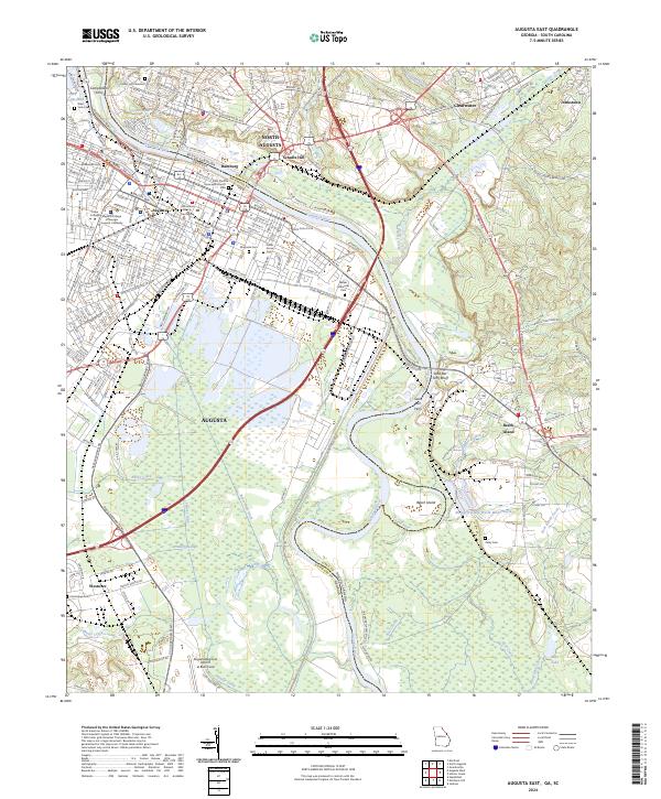
2024 Map of Augusta East
USGS Topo · Published 2024About this map
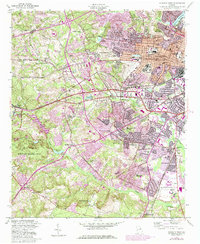
The Savannah River defines the heart of this landscape, separating Augusta, Georgia from North Augusta, South Carolina. This map documents a dense urban and historical corridor where industrial sites like the Kimberly-Clark Waste Water Basin meet significant genealogical sites, including the expansive Magnolia Cem and Cedar Grove Cem. The legacy of river-based commerce and early settlements is visible through labels like Hamburg and Campbellton Ferry.
Find a feature on this map
60 named features on this map. Tap any name to fly to it.
Don’t see what you’re looking for? This feature index may not catch every label — zoom into the map to look around manually.
Map Details
Editions of this 2024 Augusta East Map
This is the sole edition of this map. No revisions or reprints were ever made.
Historical Maps of Augusta Through Time
14 maps found
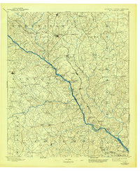
1892 Mc Cormick
Richmond County, GA

1912 Mc Cormick
Richmond County, GA

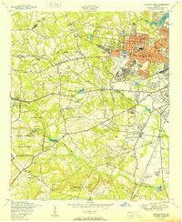
1943 Augusta East
Richmond County, GA
1950 Augusta West
Richmond County, GA
1950 Avondale
Richmond County, GA
1957 Augusta West
Richmond County, GA
1957 Avondale
Richmond County, GA
1965 Augusta East
Richmond County, GA
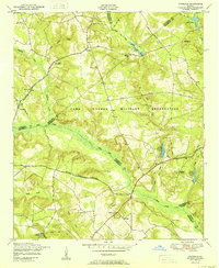
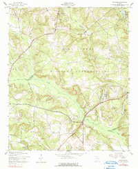
1965 Mechanic Hill
Richmond County, GA
1995 Augusta East
Richmond County, GA
2024 Augusta East
Richmond County, GA
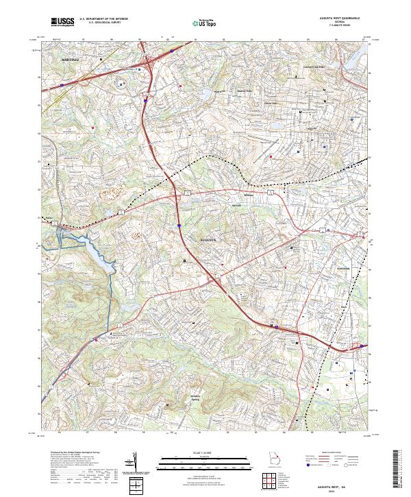
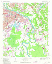
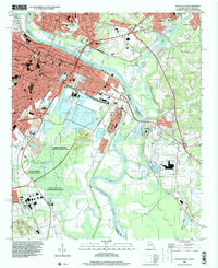
2024 Augusta West
Richmond County, GA
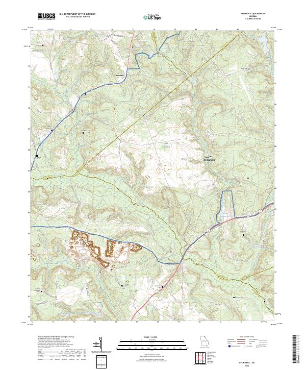
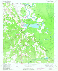
2024 Avondale
Richmond County, GA
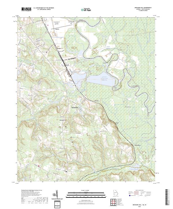
2024 Mechanic Hill
Richmond County, GA