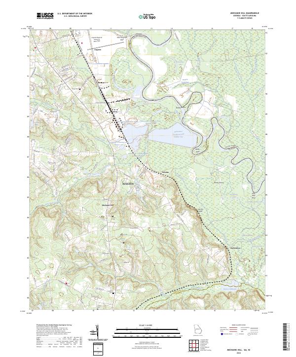
2024 Map of Mechanic Hill
USGS Topo · Published 2024About this map
The Savannah River carves a winding path along the Georgia-South Carolina border, defining a landscape of wetlands and riverine bluffs south of Augusta. Large-scale infrastructure dominates the central terrain, including the sprawling Augusta Regional Airport at Bush Field and a series of wastewater treatment ponds near Nixon. These modern facilities sit alongside older land-use patterns, such as the Silver Bluff Ferry and the New Savannah Bluff, which speak to the historic importance of river crossings and navigation in Richmond County.
Find a feature on this map
104 named features on this map. Tap any name to fly to it.
Don’t see what you’re looking for? This feature index may not catch every label — zoom into the map to look around manually.
Map Details
Editions of this 2024 Mechanic Hill Map
This is the sole edition of this map. No revisions or reprints were ever made.
Other maps of this area

1919 · Gough
USGS Topo · 1:62,500

1920 · Greens Cut
USGS Topo · 1:62,500

1921 · Augusta
USGS Topo · 1:62,500

1922 · Hephzibah
USGS Topo · 1:62,500

1943 · Greens Cut
USGS Topo · 1:62,500

1943 · Augusta East
USGS Topo · 1:125,000

1943 · Augusta
USGS Topo · 1:62,500

1948 · Hephzibah
USGS Topo · 1:62,500

1948 · Gough
USGS Topo · 1:62,500
1950 · Hephzibah
USGS Topo · 1:24,000