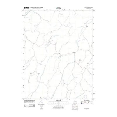
2011 Map of Augusta
USGS Topo · Published 2011About this map
The Little Cacapon River and its multiple forks define the landscape of Hampshire County, where the north and south branches converge near Frenchburg. This 2011 survey documents the rural character of the region, anchored by the unincorporated communities of Augusta and Shanks, both of which maintain their own postal facilities. The settlement pattern follows the high ground and valley floors, with traditional centers like Barnes Mill situated along the water.
Find a feature on this map
54 named features on this map. Tap any name to fly to it.
Don’t see what you’re looking for? This feature index may not catch every label — zoom into the map to look around manually.
Map Details
Editions of this 2011 Augusta Map
This is the sole edition of this map. No revisions or reprints were ever made.
Other maps of this area

1891 · Romney
USGS Topo · 1:125,000

1920 · Moorefield
USGS Topo · 1:62,500

1920 · Keyser
USGS Topo · 1:62,500

1921 · Keyser
USGS Topo · 1:48,000

1921 · Hanging Rock
USGS Topo · 1:48,000

1921 · Moorefield
USGS Topo · 1:48,000

1922 · Moorefield
USGS Topo · 1:62,500

1922 · Wardensville
USGS Topo · 1:62,500

1922 · Keyser
USGS Topo · 1:62,500

1923 · Hanging Rock
USGS Topo · 1:62,500