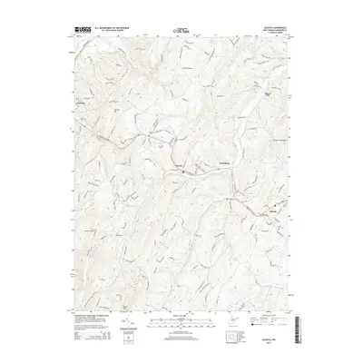
2014 Map of Augusta
USGS Topo · Published 2014About this map
Augusta and Shanks serve as primary points of reference in this corner of Hampshire County, where the terrain is defined by the sharp ridges of S Branch Mtn and Mill Mountain. The Northwestern Pike provides the main arterial route through the landscape, connecting these small communities across a complex drainage system fed by the Little Cacapon River and its southern fork. To the northwest, the edge of Romney appears near the S Br Potomac River, while the rural interior is dotted with historical markers of community life.
Find a feature on this map
37 named features on this map. Tap any name to fly to it.
Don’t see what you’re looking for? This feature index may not catch every label — zoom into the map to look around manually.
Map Details
Editions of this 2014 Augusta Map
This is the sole edition of this map. No revisions or reprints were ever made.
Other maps of this area

1891 · Romney
USGS Topo · 1:125,000

1920 · Moorefield
USGS Topo · 1:62,500

1920 · Keyser
USGS Topo · 1:62,500

1921 · Keyser
USGS Topo · 1:48,000

1921 · Hanging Rock
USGS Topo · 1:48,000

1921 · Moorefield
USGS Topo · 1:48,000

1922 · Moorefield
USGS Topo · 1:62,500

1922 · Wardensville
USGS Topo · 1:62,500

1922 · Keyser
USGS Topo · 1:62,500

1923 · Hanging Rock
USGS Topo · 1:62,500