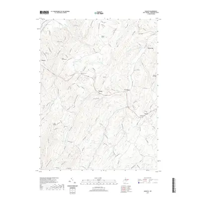
2019 Map of Augusta
USGS Topo · Published 2019About this map
Little Cacapon River and its various branches, including the N Fork Little Cacapon River and S Fork Little Cacapon River, carve through the ridges of Hampshire County in this modern survey. The settlement of Augusta serves as a local hub near the Methodist Church Cem, while the historic town of Romney is visible on the western edge of the quadrangle. The terrain is defined by prominent elevations such as South Branch Mtn and Chestnut Oak Ridge, with smaller communities like Shanks and Frenchburg situated along the primary valley roads. Genealogists will find several burial sites including Ebenezer Cem and Bethel Cem. Notable landmarks such as the Lost Mountain Airport and the Everett Fruit Farm Spring indicate the intersection of local aviation and agricultural history in this Appalachian landscape.
Find a feature on this map
118 named features on this map. Tap any name to fly to it.
Don’t see what you’re looking for? This feature index may not catch every label — zoom into the map to look around manually.
Map Details
Editions of this 2019 Augusta Map
This is the sole edition of this map. No revisions or reprints were ever made.
Other maps of this area

1891 · Romney
USGS Topo · 1:125,000

1920 · Moorefield
USGS Topo · 1:62,500

1920 · Keyser
USGS Topo · 1:62,500

1921 · Keyser
USGS Topo · 1:48,000

1921 · Hanging Rock
USGS Topo · 1:48,000

1921 · Moorefield
USGS Topo · 1:48,000

1922 · Moorefield
USGS Topo · 1:62,500

1922 · Wardensville
USGS Topo · 1:62,500

1922 · Keyser
USGS Topo · 1:62,500

1923 · Hanging Rock
USGS Topo · 1:62,500