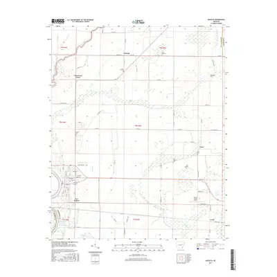
2017 Map of Augusta
USGS Topo · Published 2017About this map
The White River defines the western edge of this Woodruff County landscape, where the alluvial bottomlands meet a structured grid of rural agricultural development. The settlement of New Augusta serves as a focal point near the river, while smaller communities and crossroads like Fitzhugh, Union, and Negro Head Corner are distributed across the interior. The map reveals a dense network of county roads and drainage features such as the Main Overcup Ditch and Cypress Brake, which are essential for managing the water-rich terrain of the Arkansas Delta.
Find a feature on this map
85 named features on this map. Tap any name to fly to it.
Don’t see what you’re looking for? This feature index may not catch every label — zoom into the map to look around manually.
Map Details
Editions of this 2017 Augusta Map
This is the sole edition of this map. No revisions or reprints were ever made.
Other maps of this area

1935 · Augusta
USGS Topo · 1:62,500

1935 · Gregory
USGS Topo · 1:62,500

1939 · Hunter
USGS Topo · 1:62,500

1940 · Tilton
USGS Topo · 1:62,500

1953 · Memphis
USGS Topo · 1:250,000

1956 · Memphis
USGS Topo · 1:250,000

1956 · Tilton
USGS Topo · 1:62,500

1956 · Hunter
USGS Topo · 1:62,500

1957 · Augusta
USGS Topo · 1:62,500

1957 · Gregory
USGS Topo · 1:62,500