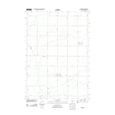
2012 Map of Aurora
USGS Topo · Published 2012About this map
Aurora and Bushnell anchor this Brookings County landscape, showing the organized grid of eastern South Dakota at the beginning of the 21st century. The map highlights a rural infrastructure defined by a dense network of numbered avenues and streets, including Rathum Loop and Main St. Local history and genealogy are well-represented by several family or community landmarks, such as Fountain Cem in the north and Fairlawn Cem near Aurora. The natural hydrology is dominated by the meandering paths of Sixmile Cr, Deer Cr, and Medary Cr, which break the geometric precision of the township sections. One particularly distinctive feature is the Aurora Prairie, a preserved or designated area south of the main settlement that offers a glimpse into the native landscape amidst the surrounding agricultural and residential development.
Find a feature on this map
34 named features on this map. Tap any name to fly to it.
Don’t see what you’re looking for? This feature index may not catch every label — zoom into the map to look around manually.
Map Details
Editions of this 2012 Aurora Map
This is the sole edition of this map. No revisions or reprints were ever made.
Other maps of this area

1953 · Watertown
USGS Topo · 1:250,000

1958 · Watertown
USGS Topo · 1:250,000

1964 · Brookings
USGS Topo · 1:24,000

1964 · Medary
USGS Topo · 1:24,000

1964 · Flandreau NW
USGS Topo · 1:24,000

1964 · Aurora
USGS Topo · 1:24,000

1968 · Brookings NE
USGS Topo · 1:24,000

1970 · White NE
USGS Topo · 1:24,000

1970 · White
USGS Topo · 1:24,000

1972 · Flandreau NE
USGS Topo · 1:24,000