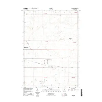
2015 Map of Aurora
USGS Topo · Published 2015About this map
The town of Aurora sits at the southern base of the Coteau des Prairies, an expansive upland plateau that dominates the central portion of this Brookings County landscape. The area is defined by a grid-based transportation network, with Redmond Rd and numerous numbered avenues connecting the primary settlements. To the north, the village of Bushnell occupies a high point between the drainages of Sixmile Cr and Deer Cr. Genealogy researchers will find several well-placed local landmarks, including Fairlawn Cem on the outskirts of Aurora and Fountain Cem located near the northern border. The eastern edge of Brookings is visible on the western margin, illustrating the interface between the growing city and the surrounding agricultural lands. The terrain is further shaped by the winding path of Medary Cr in the south, providing a natural contrast to the rigid section lines of the Public Land Survey System.
Find a feature on this map
34 named features on this map. Tap any name to fly to it.
Don’t see what you’re looking for? This feature index may not catch every label — zoom into the map to look around manually.
Map Details
Editions of this 2015 Aurora Map
This is the sole edition of this map. No revisions or reprints were ever made.
Other maps of this area

1953 · Watertown
USGS Topo · 1:250,000

1958 · Watertown
USGS Topo · 1:250,000

1964 · Brookings
USGS Topo · 1:24,000

1964 · Medary
USGS Topo · 1:24,000

1964 · Flandreau NW
USGS Topo · 1:24,000

1964 · Aurora
USGS Topo · 1:24,000

1968 · Brookings NE
USGS Topo · 1:24,000

1970 · White NE
USGS Topo · 1:24,000

1970 · White
USGS Topo · 1:24,000

1972 · Flandreau NE
USGS Topo · 1:24,000