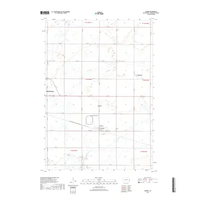
2017 Map of Aurora
USGS Topo · Published 2017About this map
Aurora and the eastern edge of Brookings sit atop the Coteau des Prairies, a high glacial plateau that defines the local topography in Brookings County. This landscape is characterized by its agricultural grid and the gentle drainages of Deer Cr and Sixmile Cr. The settlement at Bushnell occupies the northeastern section of the map, connected by a network of rural roads that follow the township and range lines. Local heritage is preserved at several burial sites across the township, including Fountain Cem to the north and both Saint Williams Catholic Cem and Fairlawn Cem near the town of Aurora. The presence of a Po and grain facilities along the railroad corridor highlights the enduring importance of small-town centers in the prairie economy.
Find a feature on this map
36 named features on this map. Tap any name to fly to it.
Don’t see what you’re looking for? This feature index may not catch every label — zoom into the map to look around manually.
Map Details
Editions of this 2017 Aurora Map
This is the sole edition of this map. No revisions or reprints were ever made.
Other maps of this area

1953 · Watertown
USGS Topo · 1:250,000

1958 · Watertown
USGS Topo · 1:250,000

1964 · Brookings
USGS Topo · 1:24,000

1964 · Medary
USGS Topo · 1:24,000

1964 · Flandreau NW
USGS Topo · 1:24,000

1964 · Aurora
USGS Topo · 1:24,000

1968 · Brookings NE
USGS Topo · 1:24,000

1970 · White NE
USGS Topo · 1:24,000

1970 · White
USGS Topo · 1:24,000

1972 · Flandreau NE
USGS Topo · 1:24,000